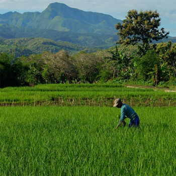
 Geospatial Innovation for Food Security
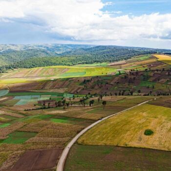 Fields of The World
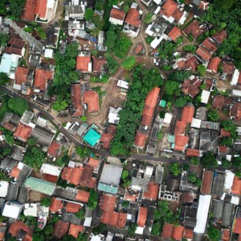 Features of The World
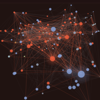 Benchmarks of the World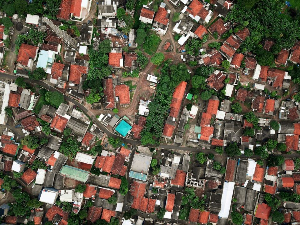
A global, regularly updated map of built and natural features gives governments, development organizations, and businesses a new window into how the physical landscape is changing. Applications range from tracking renewable energy deployment and disaster damage assessment to monitoring deforestation, land-use change, and urban growth in rapidly developing regions — all from a single, open platform.
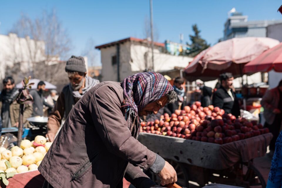
How geospatial AI is helping aid groups predict famine and deliver food
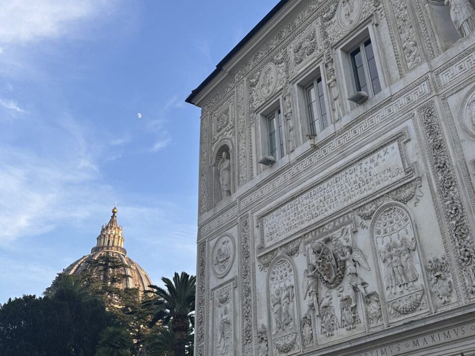
Satellites for Peace: Why the Vatican Cares About Earth Observation
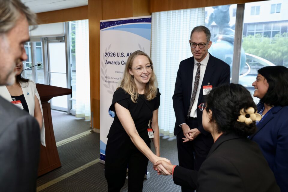
Hannah Kerner Named U.S. Nominee for the APEC ASPIRE Prize
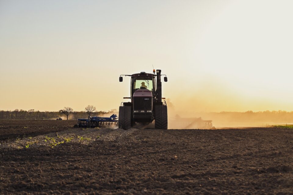
Convening a National Roadmap on Agricultural Nitrous Oxide MMRV Research
Other Inititatives
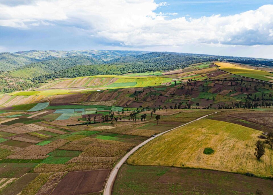
Fields of The World
Expanding the world’s first open ecosystem for global agricultural field boundary detection from satellite imagery — combining a global benchmark dataset, baseline ML models, inference tools, and web applications.
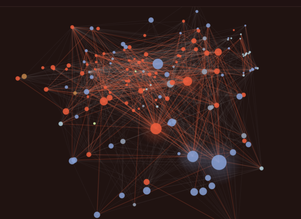
Benchmarks of the World
A shared, community-governed system for evaluating geospatial AI models — measuring real-world performance, failure modes, compute costs, and generalization across geographies and data types.