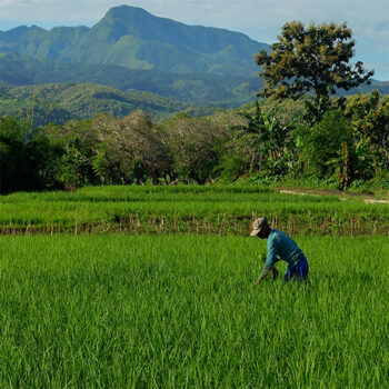
 Geospatial Innovation for Food Security
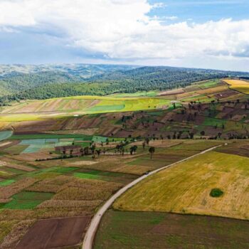 Fields of The World
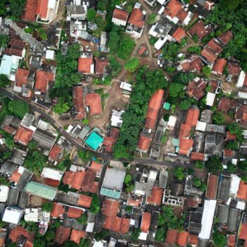 Features of The World
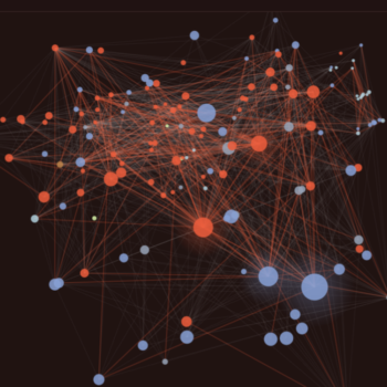 Benchmarks of the World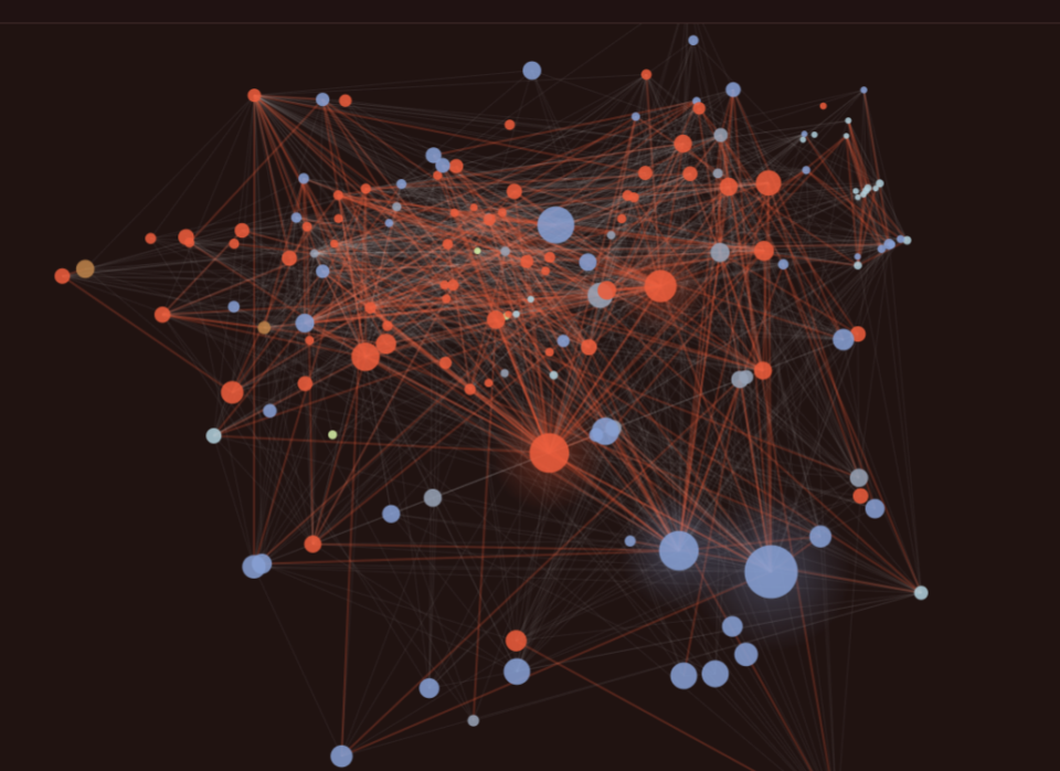
A rigorous, open benchmarking system gives the geospatial AI community — researchers, governments, and industry alike — a trusted, shared basis for comparing models and making informed decisions about which tools to use for which problems. It raises the bar for transparency and reproducibility, reduces duplicated effort across organizations, and helps ensure that advances in the field translate into reliable, real-world impact.
BotW creates simple accuracy scores to assess real-world performance, failure modes, compute costs, and generalization across geographies and data types.
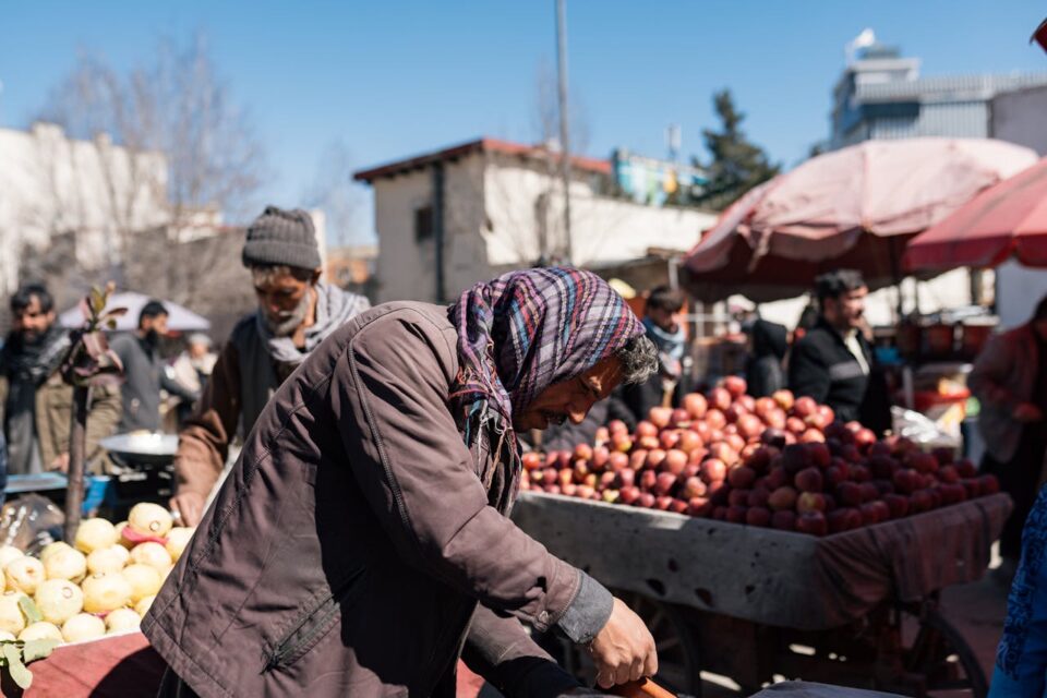
How geospatial AI is helping aid groups predict famine and deliver food

Satellites for Peace: Why the Vatican Cares About Earth Observation
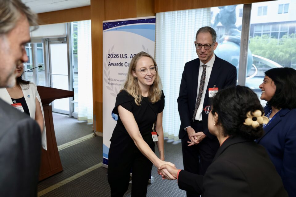
Hannah Kerner Named U.S. Nominee for the APEC ASPIRE Prize
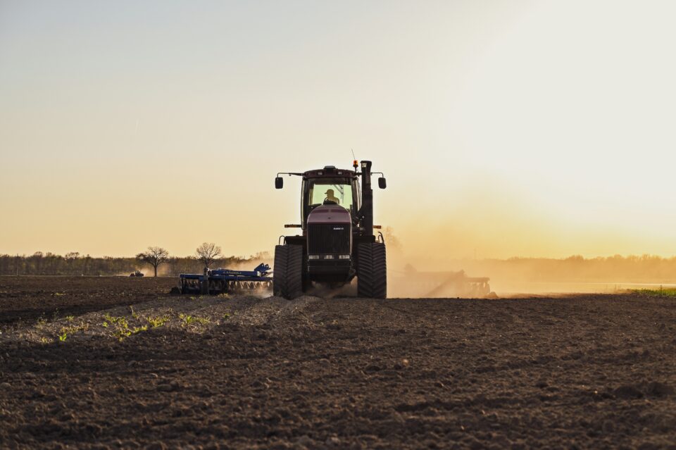
Convening a National Roadmap on Agricultural Nitrous Oxide MMRV Research
Other Inititatives
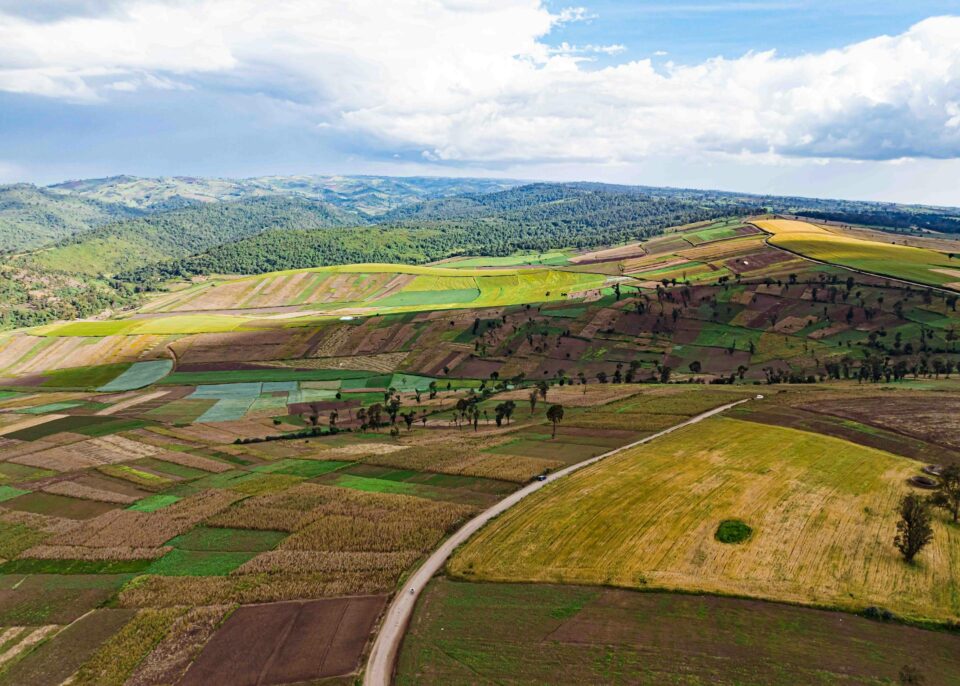
Fields of The World
Expanding the world’s first open ecosystem for global agricultural field boundary detection from satellite imagery — combining a global benchmark dataset, baseline ML models, inference tools, and web applications.
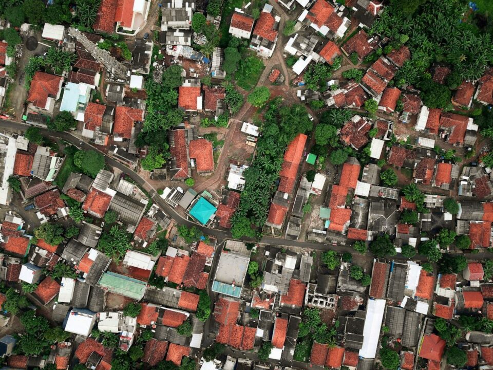
Features of The World
Applying the field-boundary approach to a broader set of physical features visible from space — training models capable of detecting roads, buildings, solar panels, trees, and more at global scale.