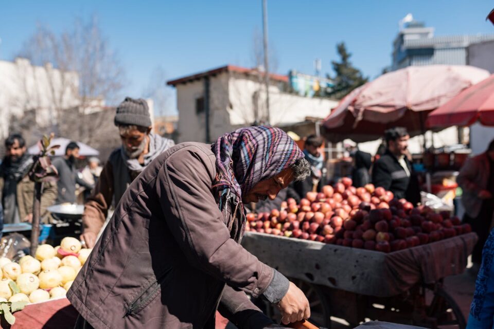
We’re excited to announce the addition of 10 pilot projects contributing to our Geospatial Innovation for Food Security (GIFS) program thanks to co-investment from Amazon Web Services (AWS). We are grateful for their support of our shared goal: to address critical global challenges through the power of AI.
Over a 12-to-18 month timeline, the pilot projects’ teams will develop foundational methods and components to translate their research into practical applications. Their goal: To transform complex geospatial data into actionable insights for farmers, policymakers, and industry stakeholders across various regions, including Africa, Southeast Asia, and the United States.
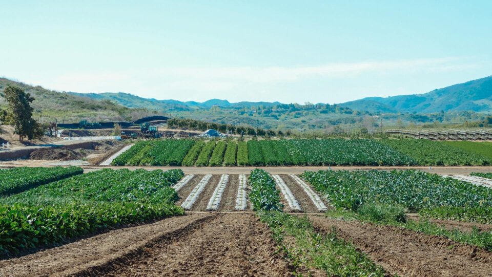
They will leverage GeoAI, Earth observations, and advanced modeling to enhance global food security and agricultural sustainability across three critical areas:
🚚 Strengthening supply chain resilience
🌽 Optimizing climate-adaptive crop shifting
🌱 Improving nitrogen use efficiency for sustainable productivity
Project teams span academia, nonprofits and industry with representation from the following:
- Auburn University
- Better Planet Laboratory
- EarthDaily
- Earth Genome
- Global Nitrogen Innovation Center for Clean Energy and the Environment (NICCEE)
- IGAD Climate Prediction & Applications Centre (ICPAC)
- IntelinAir
- International Center for Tropical Agriculture (CIAT)
- NASA Harvest
- Operation Food Search
- Spatial Informatics Group, LLC
- University of Alabama
- University of Ghana Centre for Remote Sensing and Geographic Information Service (CERSGIS)
- University of Maryland; UM Center for Environmental Science
- University of Missouri
- University of Missouri-Saint Louis
- University of South Alabama
- University of Texas at Austin
- University of Wyoming
- UrbanKisaan
- Virginia Tech