News

June 25, 2026
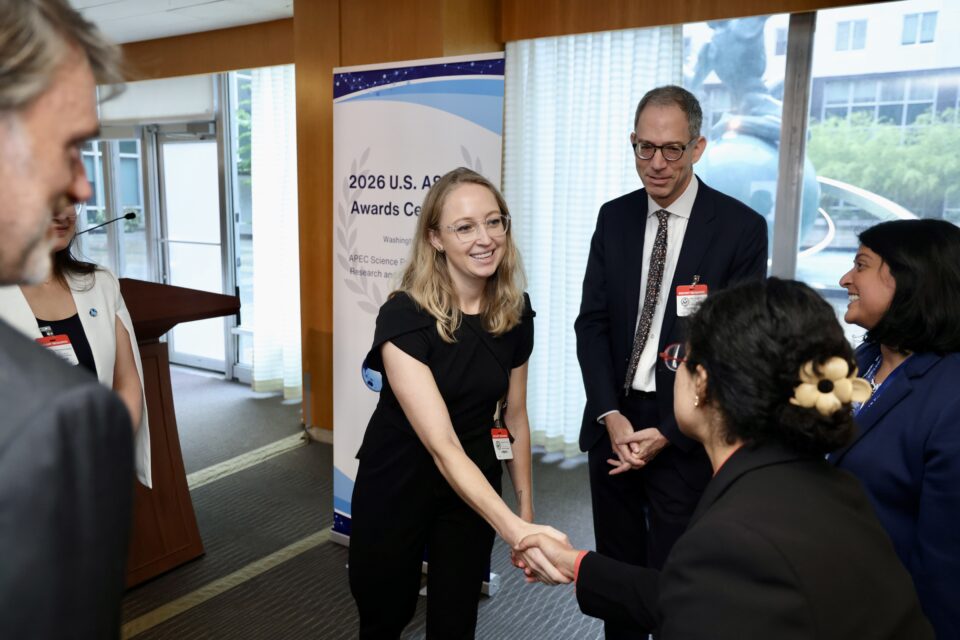
Hannah Kerner Named U.S. Nominee for the APEC ASPIRE Prize
Taylor Geospatial research advisor Hannah Kerner recognized for advancing scientific research in AI and data science to promote industrial innovation and economic resilience.
June 25, 2026
Co-investment with AWS expands GIFS program
Geospatial Innovation for Food Security (GIFS) program adds 10 pilot projects
June 23, 2026
AI project aims to help humanitarian organizations identify food security risks in conflict zones
A new initiative at Arizona State University seeks to provide earlier, more accessible insights into emerging food security risks by combining artificial intelligence, or AI, satellite observations and natural-language tools.
June 18, 2026
SatSummit Comes to St. Louis
Taylor Geospatial to co-host conference for leaders in the satellite industry and experts in global development November 18-19, 2026, at The Post Building.
June 25, 2026
Hannah Kerner Named U.S. Nominee for the APEC ASPIRE Prize
Taylor Geospatial research advisor Hannah Kerner recognized for advancing scientific research in AI and data science to promote industrial innovation and economic resilience.