 Geospatial Innovation for Food Security
 Fields of The World
 Features of The World
 Benchmarks of The World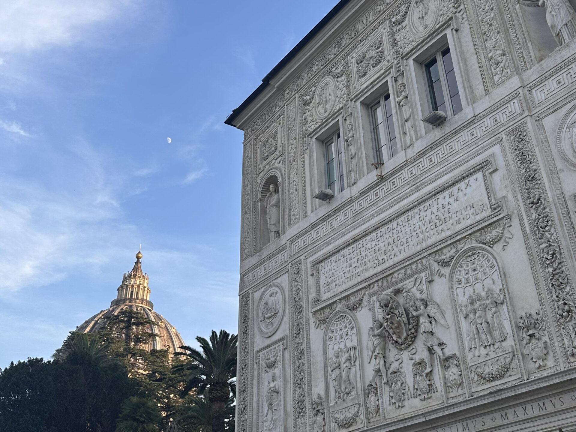
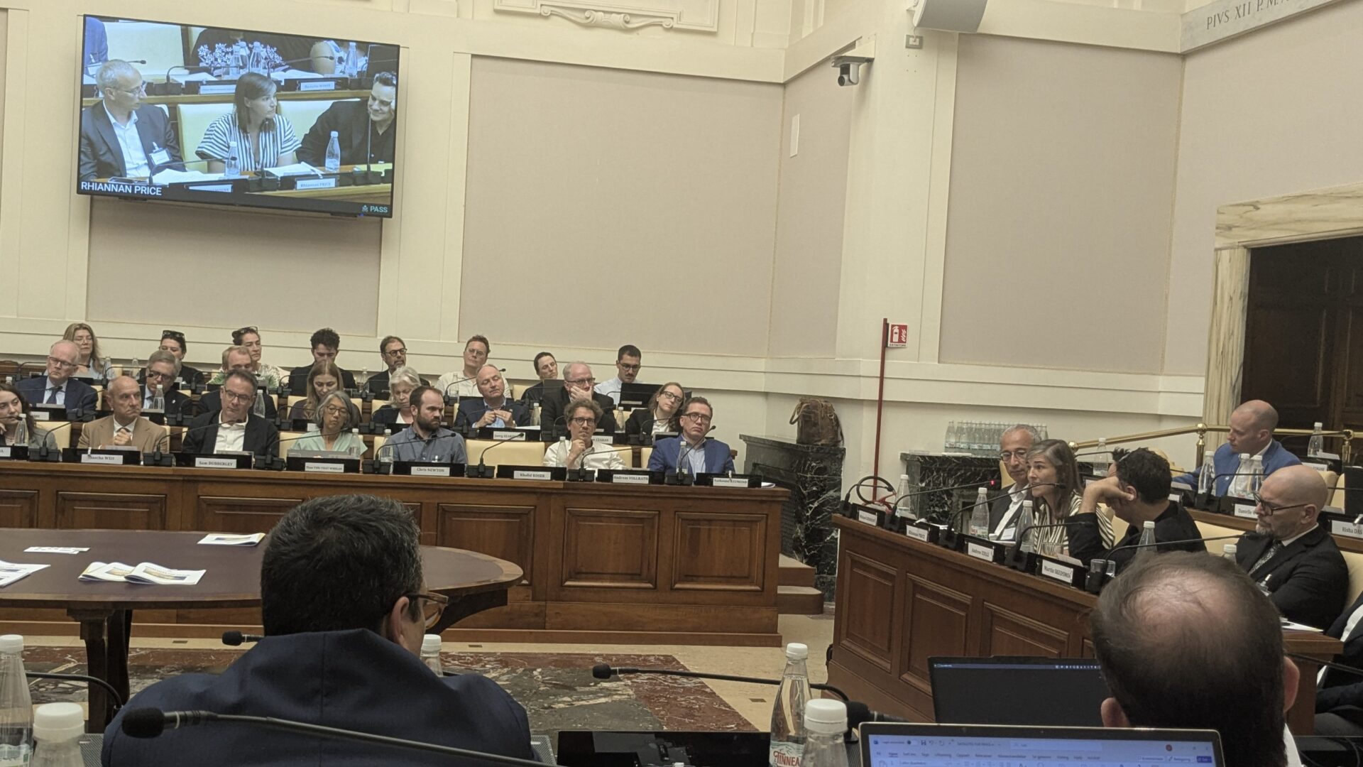
In June 2026, something unusual happened inside Vatican City. Not a doctrinal summit, not a diplomatic negotiation but a workshop on satellites. It was convened by the Pontifical Academy of Social Sciences and co-organized with the Institute for Economics and Peace (IEP), Kongsberg Satellite Services (KSAT), Peace Research Institute Oslo (PRIO), United Nations Development Programme (UNDP), and the United Nations Satellite Centre (UNOSAT).
I had the opportunity to attend along with Taylor Geospatial President Elliott Kellner, alongside humanitarians, human rights investigators, military officers, astronauts, and space-industry leaders from around the world. We came together under the banner of Satellites for Peace: An Idea Whose Time Has Come.
The phrase isn’t new. It echoes a 1979 Washington Post op-ed inspired by Senator Adlai Stevenson that imagined a future where satellites served humanity’s progress as readily as they served its rivalries. Nearly fifty years later, that vision is well overdue.
The Immense Value of Satellite Technology for Positive Peace
“Positive peace” describes not merely the absence of conflict, but the presence of the structures, trust, and equity that make conflict less likely in the first place. It is a useful lens for understanding why satellite imagery belongs in this conversation at all. For fragile and conflict-affected regions, satellites can deliver accurate, timely information from places where it is too dangerous, too politically fraught, or simply too remote for anyone to safely go on the ground.
Consider what high-resolution (sub-meter) imagery makes possible when it’s actually available to the people who need it:
- Truth in contested spaces. When ground access is restricted or narratives are disputed, satellite imagery can document the destruction of a village, verify the movement of displaced populations, or confirm an incident that would otherwise remain a matter of competing claims. It anchors accountability in something observable and persistent.
- Faster, better-deployed humanitarian response. Damage assessments after a disaster, mapping of emerging refugee settlements, tracking of crop health ahead of a food security crisis, and all of these save time in situations where time saves lives.
- Protection of what conflict destroys. Satellite monitoring can flag threats to cultural heritage sites before they’re lost, and document the damage clearly when they aren’t protected in time.
- A foundation for trust between adversaries. Shared, credible, third-party imagery can do something ground-level reporting often can’t: give opposing parties a common set of facts to negotiate from.
None of this requires exotic new technology. The satellites, the models, the infrastructure – much of it exists today. What’s missing is the collaboration and governance architecture to make that capability available as a public good rather than a private or classified asset. That is the gap the Vatican workshop named, and the gap organizations like Taylor Geospatial and Common Space, are trying to close.
Why This Conversation Is Happening Now
We are already in an era where satellites, artificial intelligence, and cloud computing are fundamentally reshaping how humanity understands our changing planet. This convergence is not a distant possibility. It is already underway, and the window to shape it is narrow. The infrastructure being built today, the norms being set today, and the coalitions being formed today will determine whether this new era concentrates power further or distributes it more equitably.
Commercial satellite capabilities have matured to the point where a public-interest constellation is financially achievable for the first time; AI has made it possible to extract actionable insight from imagery at a speed and scale no human analyst team could match; and demand has never been greater, as disasters, conflict, displacement, and other crises multiply the moments when trusted, timely data is the difference between an effective response and a failed one.
At the same time, the very forces that make this moment possible also make it fragile: geopolitical fragmentation, growing restrictions on data sharing, and market consolidation among a handful of commercial providers threaten to close the window just as it opens. Acting now while the technology is mature, the need is undeniable, and the coalition rallied, is what separates an idea whose time has come from one whose moment quietly passes.
The Role of Taylor Geospatial
Taylor Geospatial sits at an unusual intersection: deep research capacity paired with a mandate to translate that research into applied, real-world collaboration across government, industry, and civil society. That’s exactly the kind of bridge-building this moment demands. The technology to democratize Earth observation is arriving faster than the governance frameworks needed to responsibly deploy it, and organizations like Taylor Geospatial are positioned to help close that gap, translating advances in AI-assisted analysis and satellite technology into tools that humanitarian and peacebuilding actors can actually use.
Common Space and the Push for Community-Governed Infrastructure
Similarly, the vision for the organization I co-founded–Common Space–is for satellite imagery to exist as public infrastructure, governed by the communities it serves rather than by the governments or companies that happen to own the hardware.
Both Common Space and Taylor Geospatial approach the same problem from different angles while working in concert and sharing a common conviction: Earth observation tools and data are more valuable, and more legitimate, when they are produced by a community working together and the people affected by them have a say in how they’re used.
At Common Space, we are driven by a simple observation: there are already more than a thousand Earth observation satellites imaging the planet every day, yet humanity captures only a fraction of the public benefit that coverage could provide, because access is gated by cost and political interest rather than need. Common Space is building shared infrastructure: a constellation whose tasking, governance, and data stewardship are controlled by a global, multi-stakeholder community. This will be an incredible unlock for innovation, including open AI, with a massive global impact.
An Idea Whose Time Has Come (If We Build It)
A single conference, however historic its venue, doesn’t unlock all the satellite data. But it does something just as necessary: it puts moral and diplomatic weight behind this movement. The Vatican’s willingness to host this conversation is itself a kind of proof of concept: satellites for peace is no longer a fringe idea being pitched by a handful of nonprofits. It’s a serious point of convergence for diplomats, defense analysts, humanitarian agencies, and the space industry itself.
But convergence isn’t infrastructure. The next several years will determine whether this moment produces durable, community-governed systems for delivering open satellite imagery where it’s needed most, or whether it remains fifty years after Stevenson’s original vision, an idea whose time has come and gone unbuilt yet again. Join us in doing the work before we miss another opportunity. We’ll be at SatSummit in St. Louis this November continuing to talk about these issues and would love to see you here. In the meantime, consider joining Taylor Geospatial’s Fields of the World User Advisory Group – you could directly influence the latest open AI advances.