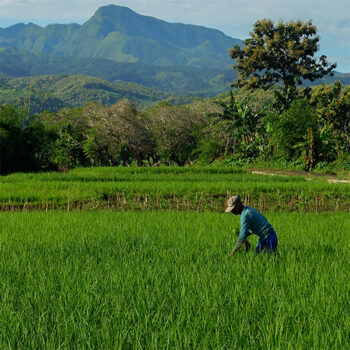
 Geospatial Innovation for Food Security
 Fields of The World
 Features of The World
 Benchmarks of the World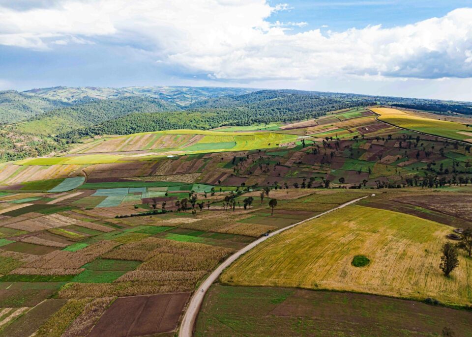
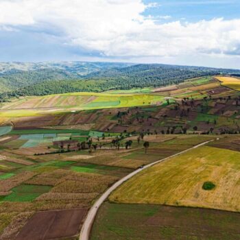
Fields of The World is a groundbreaking program designed as an “innovation bridge” between academic research and industry. In its first phase, FTW released the largest benchmark dataset for training models to infer field boundaries from satellite imagery.
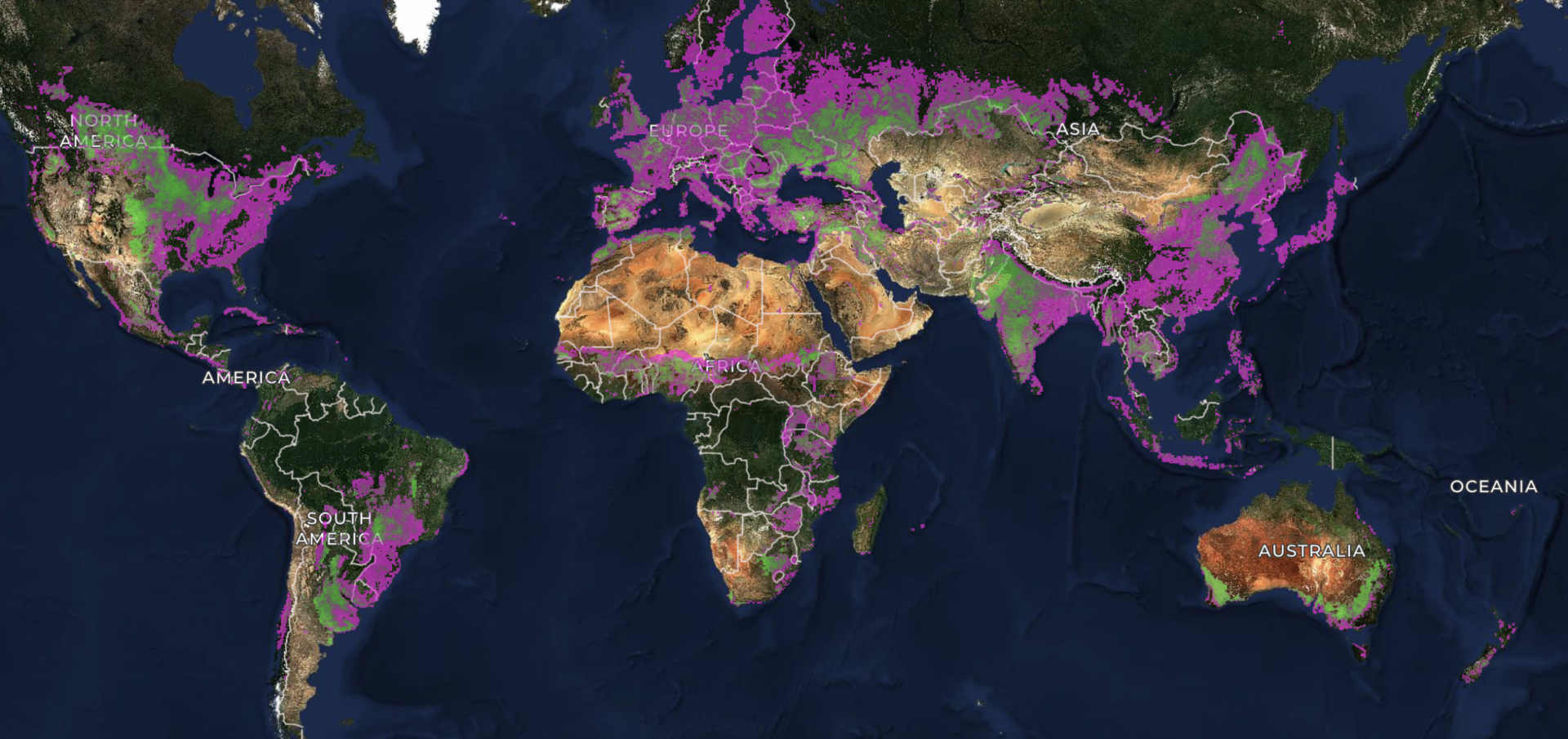
In its second phase, FTW released an assessment of over 70 geospatial AI models and their comparative performance, in addition to releasing a high performing model architecture for inferring global field boundaries. By making this ecosystem openly available, we’re empowering researchers, NGOs, and governments to better understand and manage agricultural systems worldwide.
Related Papers
Kerner, H., Chaudhari, S., Ghosh, A., Robinson, C., Ahmad, A., Choi, E., Jacobs, N., Holmes, C., Mohr, M., Dodhia, R., Lavista Ferres, J. M., & Marcus, J. (2025). Fields of The World: A Machine Learning Benchmark Dataset for Global Agricultural Field Boundary Segmentation. AAAI Conference on Artificial Intelligence.
Corley, I., Kerner, H., Robinson, C., & Marcus, J. (2026). Fields of The World: A Field Guide for Extracting Agricultural Field Boundaries. ICLR Workshop on Machine Learning for Remote Sensing.
Muhawenayo, G., Robinson, C., Khanal, S., Fang, Z., Corley, I., Wollam, A., Gao, T., Strnad, L., Avery, R., Estes, L., Tárano, A. M., Jacobs, N., & Kerner, H. (2026). PRUE: A Practical Recipe for Field Boundary Segmentation at Scale. IEEE/CVF Conference on Computer Vision and Pattern Recognition (CVPR).
Robinson, C., Muhawenayo, G., Khanal, S., Fang, Z., Corley, I., Tárano, A. M., Estes, L., Marcus, J., Jacobs, N., Kerner, H., Becker-Reshef, I., & Lavista Ferres, J. M. (2026). The first global agricultural field boundary map at 10m resolution. arXiv preprint arXiv:2605.11055.
Get Involved
Fields of The World is built on open collaboration. Connect with the team and join us in our mission to use AI and ML to identify important information in satellite imagery at global scale.
Other Inititatives
Features of The World
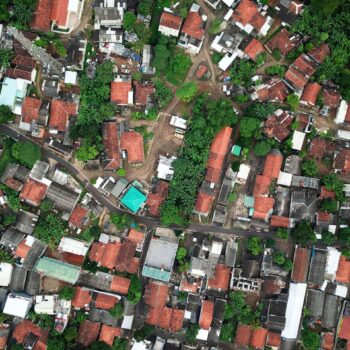
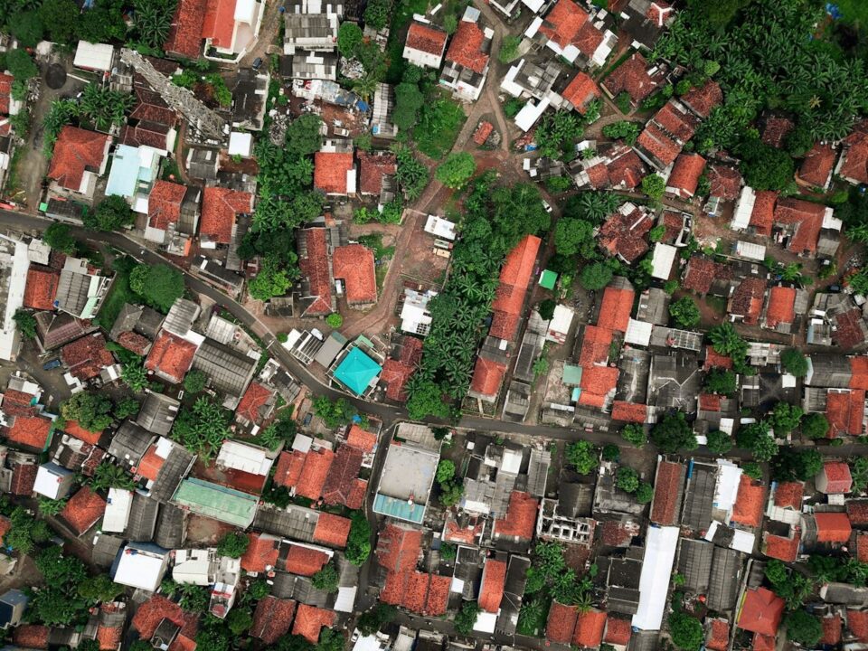
Applying the field-boundary approach to a broader set of physical features visible from space — training models capable of detecting roads, buildings, solar panels, trees, and more at global scale.
Benchmarks of the World
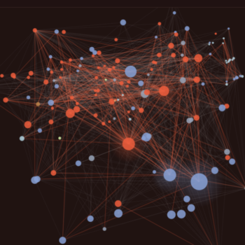
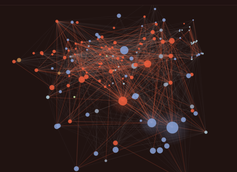
A shared, community-governed system for evaluating geospatial AI models — measuring real-world performance, failure modes, compute costs, and generalization across geographies and data types.