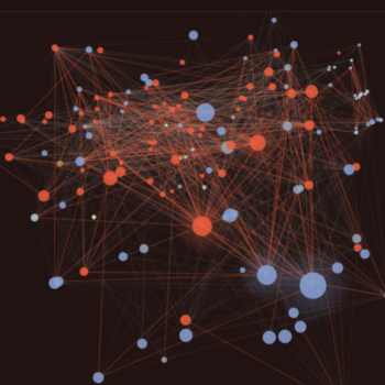
 Benchmarks of The World
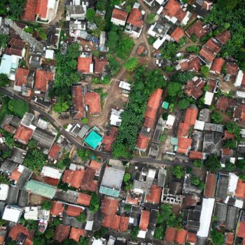 Features of The World
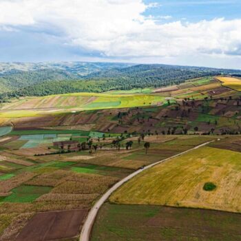 Fields of The World
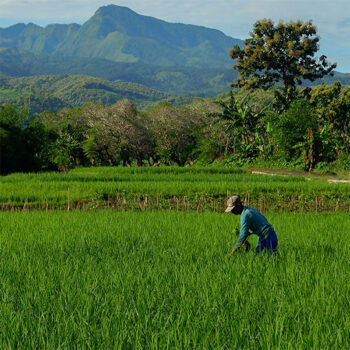 Geospatial Innovation for Food Security
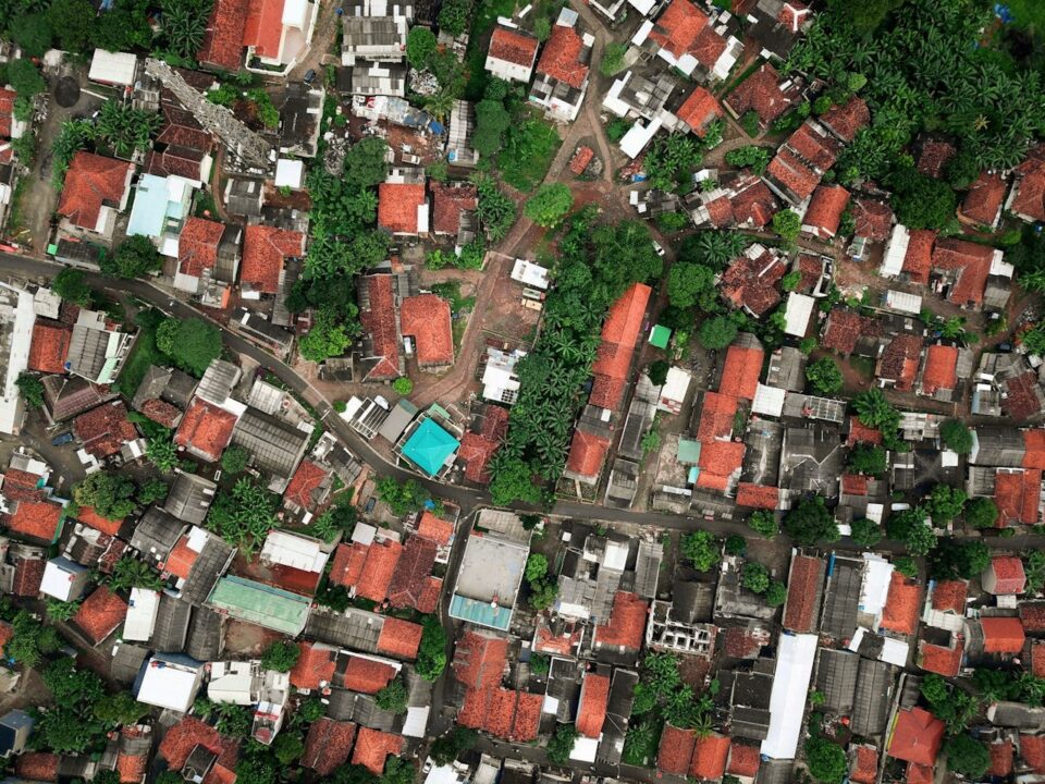
A global, regularly updated map of built and natural features gives governments, development organizations, and businesses a new window into how the physical landscape is changing. Applications range from tracking renewable energy deployment and disaster damage assessment to monitoring deforestation, land-use change, and urban growth in rapidly developing regions — all from a single, open platform.
Other Projects
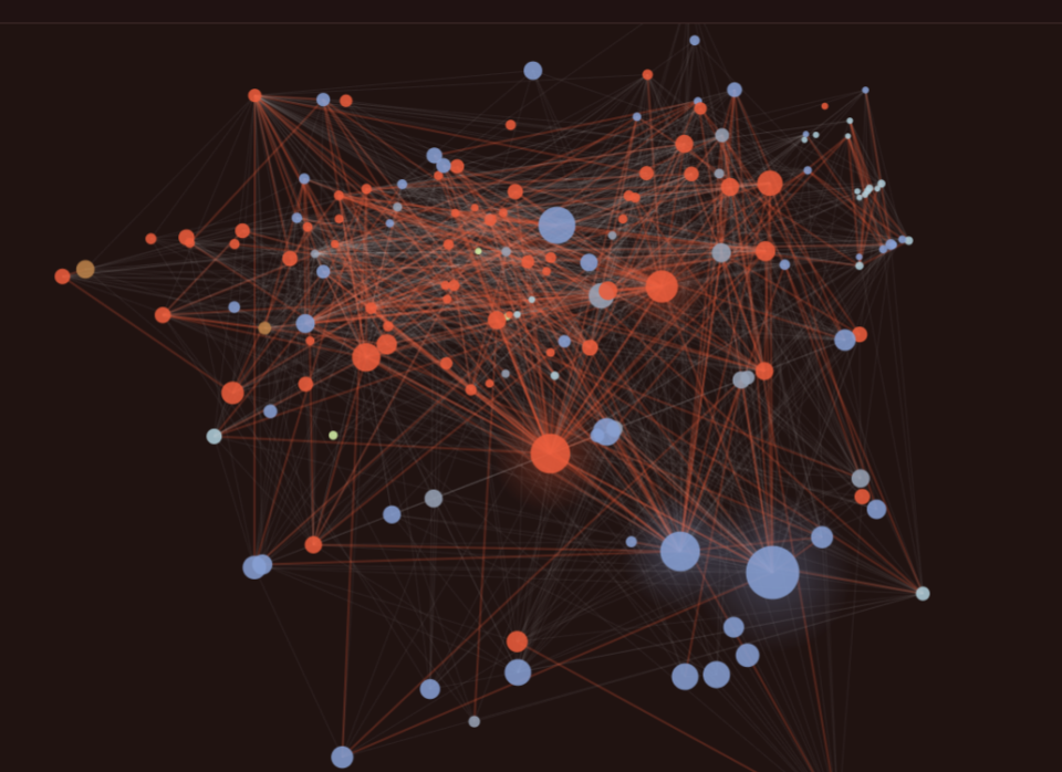
Benchmarks of The World
A shared, community-governed system for evaluating geospatial AI models — measuring real-world performance, failure modes, compute costs, and generalization across geographies and data types.
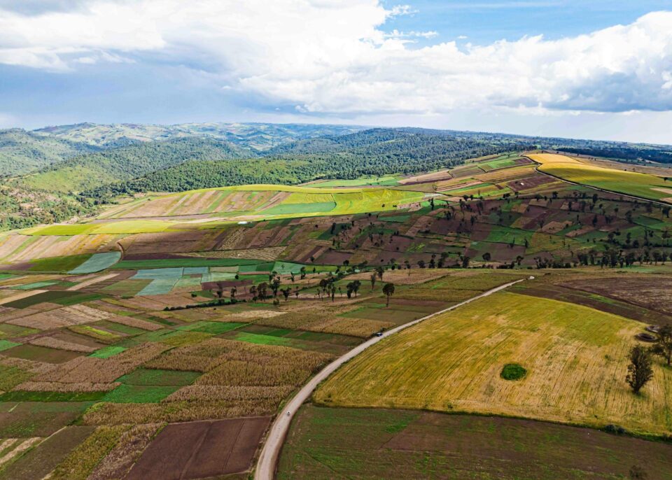
Fields of The World
Expanding the world’s first open ecosystem for global agricultural field boundary detection from satellite imagery — combining a global benchmark dataset, baseline ML models, inference tools, and web applications.
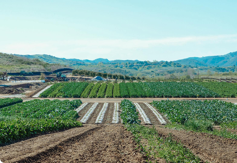
Geospatial Innovation for Food Security
Unlocking AI-driven geospatial breakthroughs for sustainable agriculture and food security. Applying earth observation, machine learning, and spatial analytics to improve global agri-food systems resilience.