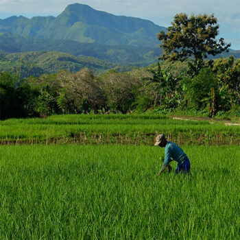
 Geospatial Innovation for Food Security
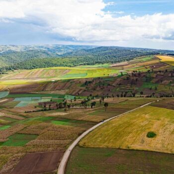 Fields of The World
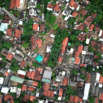 Features of The World
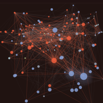 Benchmarks of The World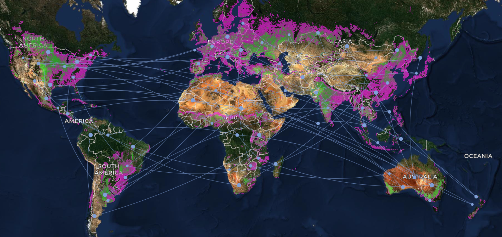
Taylor Geospatial is excited to welcome 13 experts to its newly launched Fields of The World (FTW) user advisory group. Their collective expertise in data science, machine learning, and geospatial technologies supporting agricultural use cases will be powerful in ensuring the globally scaled FTW is a utility that supports local and regional challenges.
During the group’s initial meeting this week, advisors came together to kickoff the collaboration with Taylor Geospatial. The group represents diverse specialities: government agencies, UN organizations, nonprofit and humanitarian groups, academic institutions, and commercial geospatial companies.
Their affiliations include Bayer, CIMMYT (International Maize and Wheat Improvement Center – Mexico), EarthDaily (Canada), INPE (National Institute for Space Research – Brazil), INTA (National Agricultural Technology Institute – Argentina), MillPont, Miraterra Soil (Canada), NASA Acres, NASA Harvest, Planet, Purdue University, the World Food Programme, and the World Resources Institute.
What Can Field Boundaries Do for You?
Rhiannan Price, Taylor Geospatial’s Humanitarian Fellow in Residence who leads the advisory group, asked the group to explain what field boundaries unlock for them, and how FTW relates to their work.
Across the advisory group there is interest in using FTW to streamline measurement, reporting, and verification (MRV) for carbon market programs and regenerative agriculture, improve land cover maps in Brazil, assess crop land abandonment in conflict areas, support smallholder farmers in Africa, detect crop types in Mexico, and to map microbial ecology.
“Field boundaries have been in our wish list I think more than 10 years, probably even more than that,” said Kai Sonder, head of CIMMYT’s GIS unit. “So, I’m thrilled that this has finally come out. We were always hoping for one of the big players to do it, but it’s great to see an institution like this do it.”
“They’re essentially our unit of analysis,” said Rhiannon Rognstad, head of data science at the World Resources Institute (WRI). She sees FTW as valuable to WRI’s efforts towards deforestation-free supply chains as well as water management. Field boundaries “can really provide clear indicators there and also for projects looking at things like the effects of interventions in fields, like adaptive management practices.”
“Many of our partners are also operating in resource constrained environments. So I’m very excited about the openness of this dataset and its ability to be adopted by many.”
Jen Marcus, Vice President for Strategic Innovation at Taylor Geospatial, underscored Taylor Geospatial’s interest in getting information from imagery out to practitioners to lower the barrier of entry for analysis. “While field boundaries aren’t the billion-dollar feature, they are a container for lots of things that are critically important to a lot of different communities” Through Fields of The World, Taylor Geospatial will provide the base element – field boundaries – so practitioners like those in the advisory group can build on top of them.
Feedback Welcome
Taylor Geospatial looks forward to advisors providing feedback on the FTW benchmark dataset, model and output field boundary data, while serving as early pilot partners for integrating those into their own workflows and projects.
Fields of The World has always been a collaborative effort. Since it began, one of the founding principles has been to bring potential users directly into the planning process. We are incredibly grateful to the practitioners who have stepped up to share their experiences and feedback as we continue to enhance the Fields of The World ecosystem and explore how AI and ML can be used to map other features at global scale.
Meet the Fields of The World Advisors
Austin Arrington
Austin Arrington is an environmental scientist, software engineer, and engineering leader who serves as the Chief Technology Officer (CTO) at MillPont, a company building geospatial and digital infrastructure for environmental asset management and markets. He also founded PLANT Group (People Learning About Nature) in 2016, an ecological design and engineering consultancy focused on natural resource preservation and climate adaptation.
Elinor Benami
Elinor Benami is an applied microeconomist and Assistant Professor of Agricultural and Applied Economics at Virginia Tech. Her research spans environmental, agricultural, and development economics, with a particular focus on using geospatial and Earth-observation data to understand risk, information, and decision-making. Much of her current work examines the design and evaluation of agricultural insurance and finance, including how Earth observations can improve agricultural monitoring, risk assessment, and program delivery. She also studies conservation programs and environmental regulation in the United States and internationally.
Gilberto Câmara
Prof. Dr. Gilberto Câmara is a Brazilian researcher in Geoinformatics, Big Earth Observation Data, Spatial Data Science, and Land Use Policy, well-known for promoting free access to geospatial data and for leading effective satellite monitoring of the Brazilian Amazonia. He has advised 57 graduate students, and his work has over 20,000 citations (Google Scholar). Gilberto was Director General of Brazil’s National Institute for Space Research (INPE) from 2005 to 2012 and Director of the Secretariat of the Group on Earth Observations (GEO) from 2018 to 2021. Currently, he is a Senior Fellow at INPE and a Senior Researcher at the Agribusiness Research Centre of the Getulio Vargas Foundation (FGV). He is a Doctor honoris causa by the University of Münster (Germany). He received the William T. Pecora award from NASA and USGS for “leadership to the broad and open access to remote sensing data.” His webpage is gilbertocamara.org.
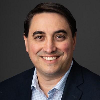
Ignacio Ciampitti
Ignacio Ciampitti, a quantitative agronomist with a focus on the integration of digital agriculture in the context of complex farming systems, he is currently serving as the co-director of the Institute for Digital and Advanced Agricultural Systems (IDAAS), a full professor in the agronomy department, Chief Agronomist of NASA Acres and co-lead of the Farmer Innovation Ambassador Team (FIAT). With a strong academic foundation and industry experience, Ciampitti’s research explores integration of plant processes within the agricultural systems with data science, remote sensing, crop modeling, phenotyping methods, and development of digital agricultural tools. Dr. Ciampitti has published more than 350 peer-reviewed scientific papers with more than 10,000 citations, and he has trained more than 30 graduate students, 20 post-doctoral researchers and more than 100 research scholars. In addition to his full-time position, Ciampitti is a member of several journals as part of their Editorial Board such as European Journal of Agronomy, Crop Science, Field Crops Research, Remote Sensing, npj Sustainable Agriculture, and Nature Scientific Data.
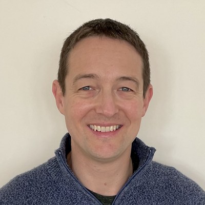
Robin Cole
Robin Cole holds a PhD in physics from the University of Cambridge and brings significant R&D experience across academia and industry. Over the last ten years, he has worked in the space sector, applying his optical expertise to the design and manufacture of space-based telescopes, with a specialization in Python-based image analysis and software development. He is a well-known authority in machine and deep learning techniques for processing satellite and aerial imagery, and is dedicated to education: he created the satellite-image-deep-learning.com website, newsletter, YouTube channel, and GitHub organization to share his knowledge and build a community. A strong proponent of the open-source software movement, he regularly contributes to GitHub and strives to make a positive impact in the developer community. He has presented at various Python conferences and been invited as a guest on several podcasts, including ZenML and Mapscaping, where he shares his knowledge and passion for the industry while connecting with other like-minded individuals.
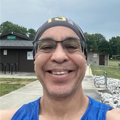
Brett Lord-Castillo
Brett Lord-Castillo is the Geospatial Core Squad Lead for Bayer Crop Science.
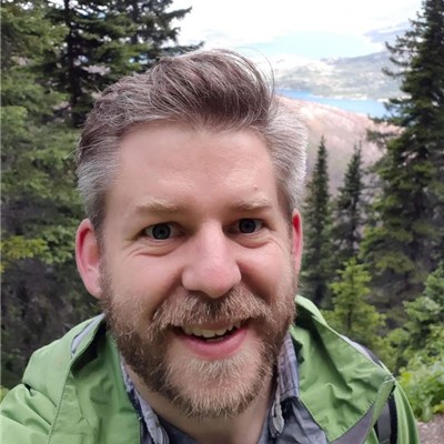
Dave McCaffrey
Dave McCaffrey is a remote sensing scientist with a research background in biology, ecology, and earth systems. Based in Lethbridge, Alberta, Canada, Dave has over a decade of experience using imagery and LiDAR data to design and commercialize agtech products.
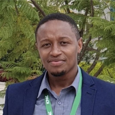
Kenneth Mwangi
Kenneth Mwangi is the Regional Lead for Sustainable Improvement of Food Productivity, at the World Resources Institute (WRI) leading a component of the Food Program that is developing data and evidence through crop mapping, AI tools development and adoption in food systems transformation for Africa. He coordinates a team of researchers, AI and data scientists, crop mapping and policy actors working in Eastern and Central Africa to deliver advanced data, crop production modelling and climate linkages for research, action and investments.
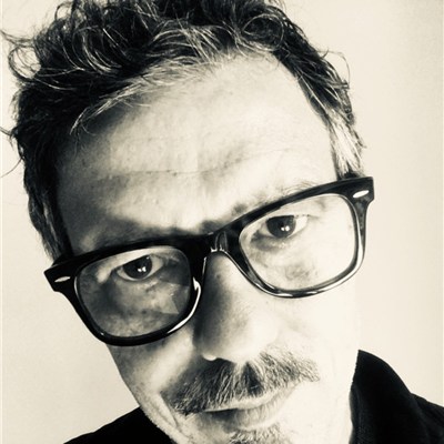
Giancarlo Pini
Giancarlo Pini leads the Geospatial Team at the World Food Programme, where he has worked since 2013. Prior to joining WFP, he was part of the MARS unit at the EC Joint Research Centre. He has extensive experience in the application of earth observation and climate information to food security, natural hazard and climate risk intelligence. He has also collaborated with WMO and the AGRHYMET Regional Center to support the development and strengthening of early warning systems across West Africa. Earlier in his career, he conducted research at the Biometeorology Institute of Italy’s National Research Council.
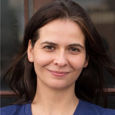
Rhiannon Rognstad
Rhiannon Rognstad leads Data Science at World Resources Institute’s (WRI) Data Lab, where her team builds geospatial data products for programs tackling challenges facing people, nature, and climate. She came to this work as an ecologist and holds a PhD in Biological Sciences from the University of South Carolina, where she studied population connectivity and environmental change in marine environments. Before WRI, she worked as a data scientist at Thermo Fisher Scientific, originated the Deputy Chief Data Scientist role at the National Geospatial-Intelligence Agency, and was an academic researcher focusing on kelp forest biodiversity and protection. One common thread though Rhiannon’s work is a conviction that place matters, and that a good map is one of the better tools we have for understanding it. She enjoys spending time with family and outdoors, volunteering as a Virginia Master Naturalist, gardening and cooking with hard-won garden produce, and fiber crafts like knitting and weaving.
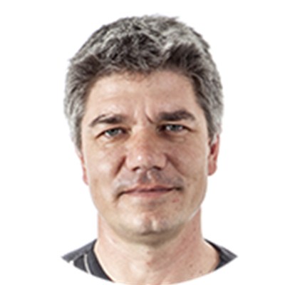
Kai Sonder
Dr. Kai Sonder is the head of the GIS unit of CIMMYT, a cross cutting service unit embedded in the Socioeconomics Program, based in the HQ in Mexico. He does research on GIS, spatial analysis, targeting, remote sensing, climate change and crop modeling in Asia, Africa and Latin America. His research background spans 24 years in developing countries in Africa, Asia and Latin America mainly related to NRM and crop production. He has a PhD in soil conservation and erosion modelling from the U. of Hohenheim as well as a MSc in Tropical Plant Production from the Justus-Liebig-University.
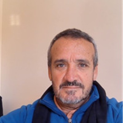
José Volante
Dr. José Volante is a researcher at the National Institute of Agricultural Technology (INTA) in Argentina, where he works on geospatial analysis, agricultural monitoring, and land-use assessment using Earth observation data. His work has focused on the development and validation of national-scale crop mapping products that support agricultural statistics, resource management, and public decision-making across Argentina. Over the past several years, he has contributed to initiatives involving satellite image analysis, machine learning, and large reference datasets for operational agricultural monitoring. Through this experience, he has gained practical expertise in field boundary validation, training data quality assessment, accuracy evaluation, and the challenges associated with implementing geospatial products in real-world institutional settings.
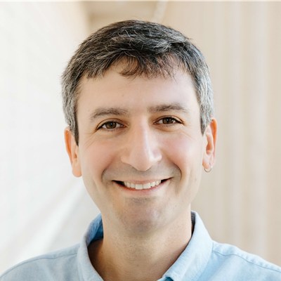
Ariel Zajdband
Ariel Zajdband is a product leader building digital tools that turn satellite and agronomic data into actionable insights for agriculture. As Lead Product Manager at Planet, he leads the development of data products and solutions for agriculture. Earlier, he built precision ag and soil-diagnostics platforms at Mavrx and Trace Genomics, and contributed to building a precision-spraying system at Blue River Technology (acquired by John Deere). He holds a PhD in Agronomy from the University of Buenos Aires.
Get Involved with Fields of The World
- Tell us about your use case. If you’re working with the data or thinking about it, share your use case with us
- Contribute code or data. FTW is open source — find the project on GitHub.
- Join the Technical Community Meetings. Sign up through our Google Group for invitations to regular community calls.