News
June 25, 2026
Co-investment with AWS expands GIFS program
Geospatial Innovation for Food Security (GIFS) program adds 10 pilot projects
June 8, 2026
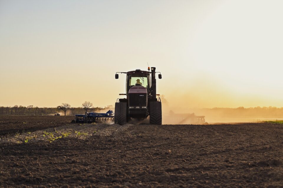
Convening a National Roadmap on Agricultural Nitrous Oxide MMRV Research
Taylor Geospatial was honored to help guide this effort alongside colleagues at the Natural Resources Defense Council, bringing together researchers from universities, federal agencies, industry, and the nonprofit sector to reach consensus on the research needed to develop fit-for-purpose tools and methods to measure, model, and ultimately reduce the nitrous oxide emissions that come from the ways we grow our food.
May 27, 2026
Transforming Global Food Systems: New Geospatial Innovations Aim to Combat Hunger and Support Agricultural Stability
A new suite of geospatial innovations designed to turn data into actionable intelligence for global...
April 23, 2026
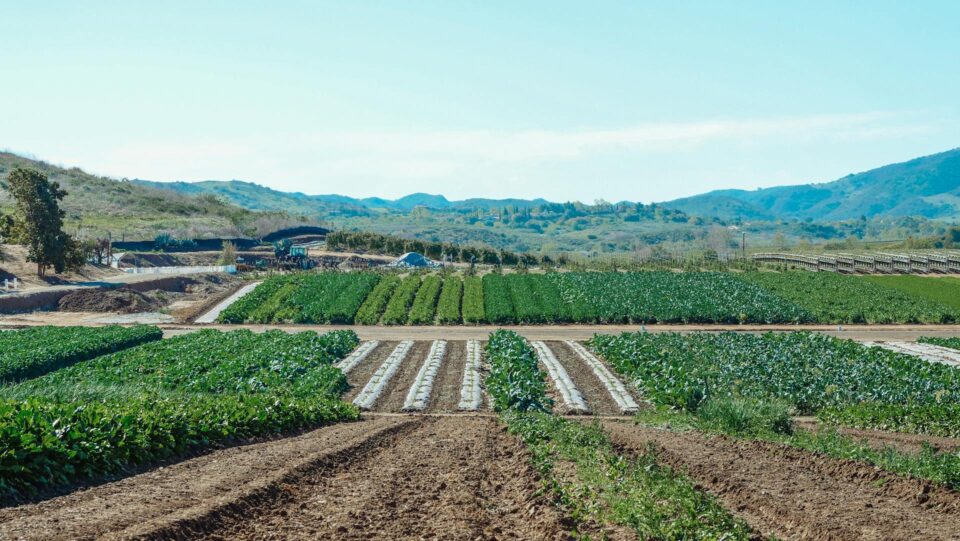
Agricultural Field Boundaries, Mapped Globally for the First Time
For the first time, every agricultural field on Earth has a boundary on the map. Taylor Geospatial funded and co-developed this work with Microsoft AI for Good Lab — one of the most ambitious GeoAI efforts we know of — because we believe GeoAI should work everywhere, not just in the data-rich regions where labeled training data is abundant. Today, it’s publicly available for everyone to benefit from.
March 5, 2026
Taylor Geospatial Launches as a New Hub for GeoAI Innovation
Taylor Geospatial today announced its launch as a new organization focused on unlocking AI-driven geospatial...