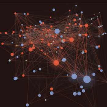
 Benchmarks of The World
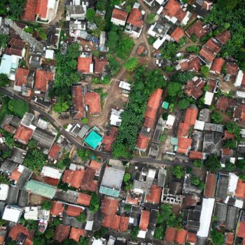 Features of The World
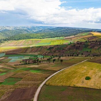 Fields of The World
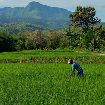 Geospatial Innovation for Food Security
Open, global
geospatial AI expands what’s possible.
Taylor Geospatial brings researchers, engineers, and practitioners together to create open geospatial AI models, data, and benchmarks at global scale.

- SatSummit Comes to St. Louis
- Early Warning Systems for Hunger & Malnutrition
- Predicting Food System Instability
- Agricultural Field Boundaries, Mapped Globally for the First Time
- Community Experts Help Fields of The World Flourish
- Climate-Resilient Cashew Systems: GeoAI and Crop Modeling for Northern Ghana
- Satellites for Peace: Why the Vatican Cares About Earth Observation
- Water-First Agricultural Nitrogen Management
- Fields of the World: 1.5+ billion field boundaries
The Challenge
The imagery problem is solved.
The information problem isn’t.
Satellites capture images of the entire planet every day, across multiple sensors and at petabyte scale. The imagery is there; the challenge is that extracting insights is expensive and time-consuming.
Turning satellite imagery into usable information means every team builds its own pipeline: sourcing and preprocessing imagery, labeling training data, training and validating models, then running inference at scale. That work usually stays inside one organization, solved for one place and one question. Everyone solves their own problem, and the field as a whole advances slowly.
OUR SOLUTION
We build elements of the foundational layer to create global datasets from satellite imagery.
The information problem won’t be solved one pipeline at a time. We unite teams of researchers, engineers, and practitioners to build the foundational layer that extracting information from satellite imagery depends on: training data, benchmark datasets, cutting-edge models, imagery prepared for model inference, and the tools to extract features at planetary scale. We release it all openly, so it reaches the market faster and creates economic, environmental, and societal value sooner.


The Impact
A foundation for planetary intelligence
Our open resources save teams the time and cost of starting from scratch, so researchers, companies, NGOs, and governments can go straight to the questions they need answered.
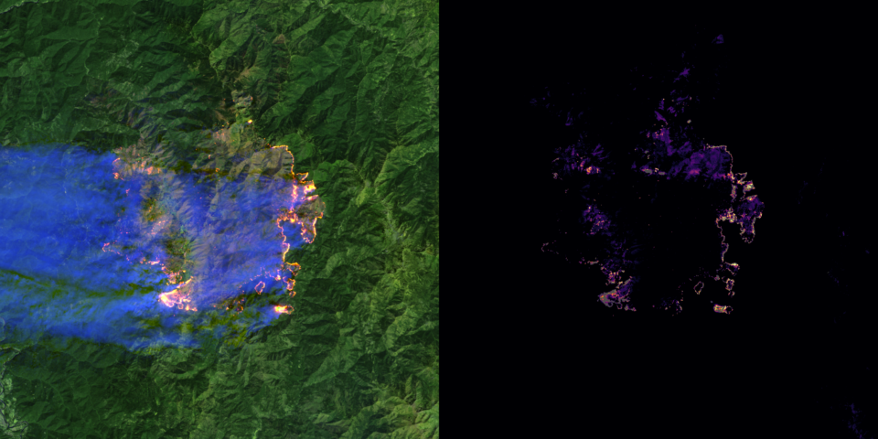
No One Knows the State of the Art in Geospatial Foundation Models
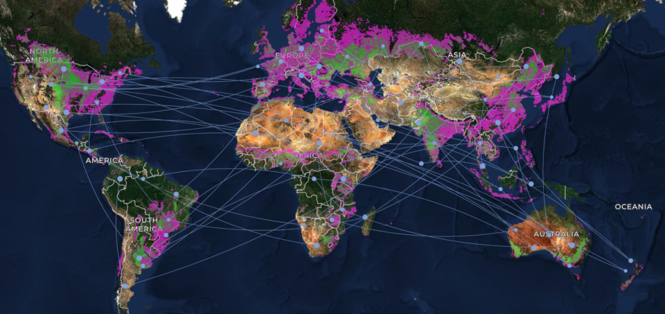
Community Experts Help Fields of The World Flourish
Introducing the Fields of The World User Advisory Group
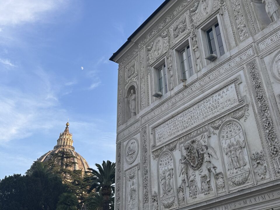
Satellites for Peace: Why the Vatican Cares About Earth Observation
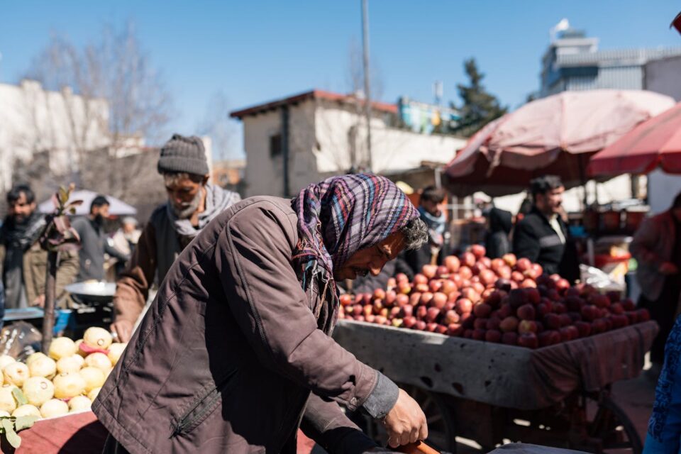
How geospatial AI is helping aid groups predict famine and deliver food
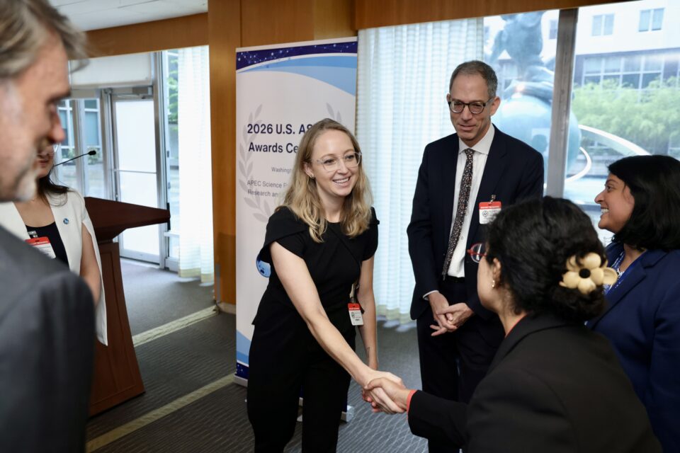
Hannah Kerner Named U.S. Nominee for the APEC ASPIRE Prize
Co-investment with AWS expands GIFS program
AI project aims to help humanitarian organizations identify food security risks in conflict zones
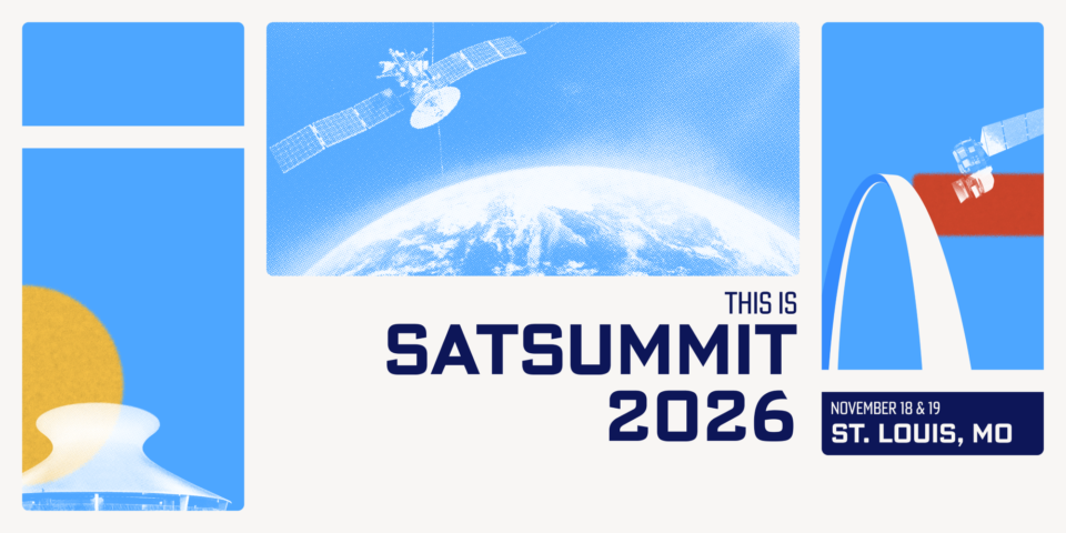
SatSummit Comes to St. Louis