
by TaylorGeoAdmin | Feb 28, 2022 | University of Missouri–St. Louis, Core Geospatial Science, News
The University of Missouri – St. Louis continues to build its connections with the rapidly developing geospatial ecosystem that’s been sprouting up throughout St. Louis alongside construction of the National Geospatial-Intelligence Agency’s new west campus northwest...

by TaylorGeoAdmin | Dec 3, 2021 | Core Geospatial Science, News, Washington University
Jordan Neeley, a junior studying environmental earth science at Washington University in St. Louis, once asked the same question that many visitors ask: What is a shut-in? Rock formations called shut-ins confine a section of a river, forcing...
by TaylorGeoAdmin | Nov 17, 2021 | Core Geospatial Science, News, University of Illinois
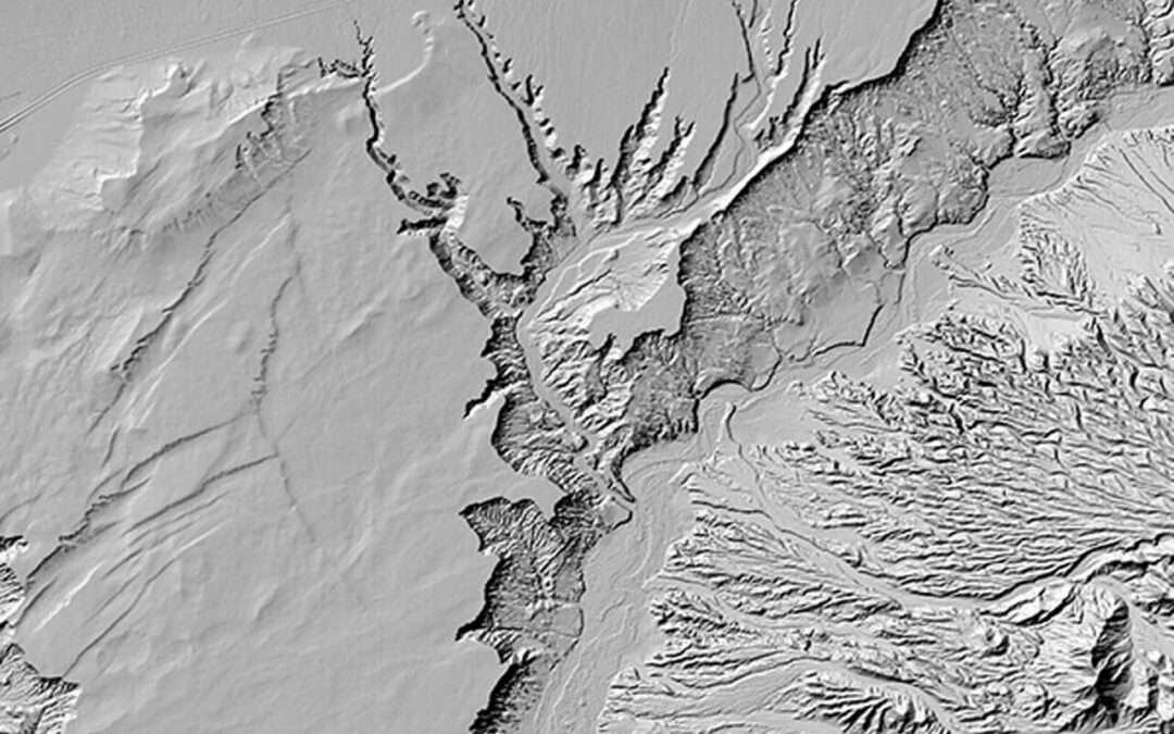
One of the earliest projects to ramp up after NCSA launched the Blue Waters supercomputer in 2013 was a project from the University of Minnesota’s Polar Geospatial Center. They wanted to make high-quality digital elevation models, or DEMs, for the polar ice....
by TaylorGeoAdmin | Nov 11, 2021 | Core Geospatial Science, News, St. Louis
St. Louis – Local civic leaders are pinning their hopes on the geospatial sector to help boost the region’s economy and create jobs. As the National Geospatial-Intelligence Agency constructs its $1.7 billion western headquarters in north St. Louis, a four-day...

by TaylorGeoAdmin | Oct 10, 2021 | Core Geospatial Science, News, University of Missouri–St. Louis
The National Geospatial-Intelligence Agency and University of Missouri – St. Louis are partnering to create a geospatial talent pipeline that supports student learning from kindergarten through college and beyond. Under a new educational...
by TaylorGeoAdmin | Oct 6, 2021 | Danforth Center, Core Geospatial Science, News
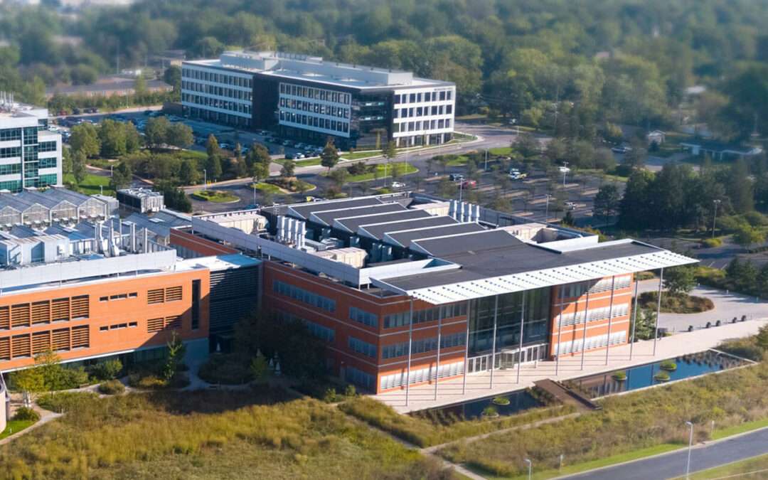
The Donald Danforth Plant Science Centerhas won a $1.5 million competitive Build to Scale grant from the US Department of Commerce Economic Development Administration (EDA) to support theCenter for AgTech and Applied Location Science and Technology (CATALST). The...
by TaylorGeoAdmin | Sep 28, 2021 | Core Geospatial Science, News, University of Illinois
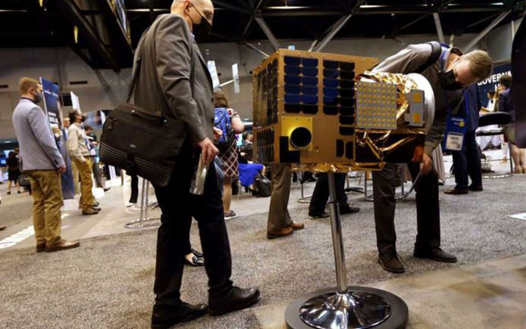
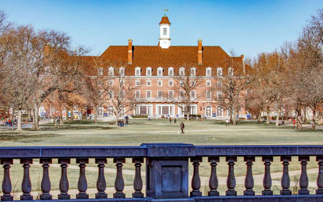
Institute will focus on innovative cyberGIS and cyberinfrastructure A new national initiative to enable geospatial data-driven scientific discovery will create a $15-million institute at the University of Illinois Urbana-Champaign to better understand the risks...
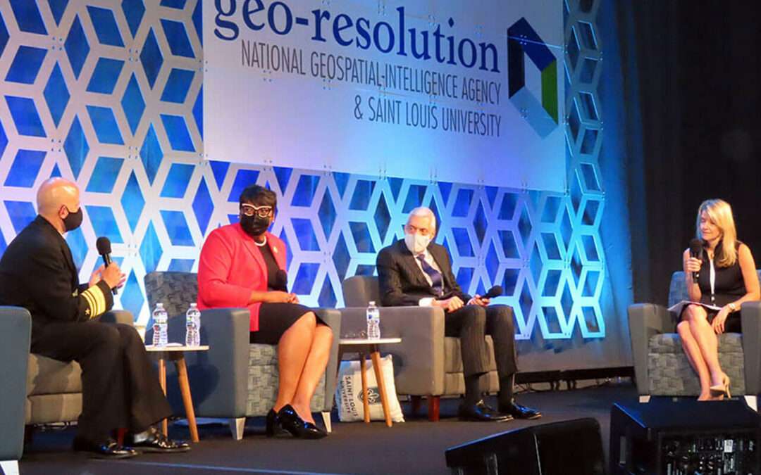
by TaylorGeoAdmin | Sep 14, 2021 | Core Geospatial Science, News, Saint Louis University
Geo-Resolution 2021: Building a 21st Century Geospatial Ecosystem From Hard Problems to Opportunities was co-hosted by Saint Louis University and the National Geospatial Agency (NGA). The conference returned to the Wool Ballrooms at Busch Student Center on SLU...
by TaylorGeoAdmin | Apr 8, 2021 | Core Geospatial Science, News, Harris-Stowe State
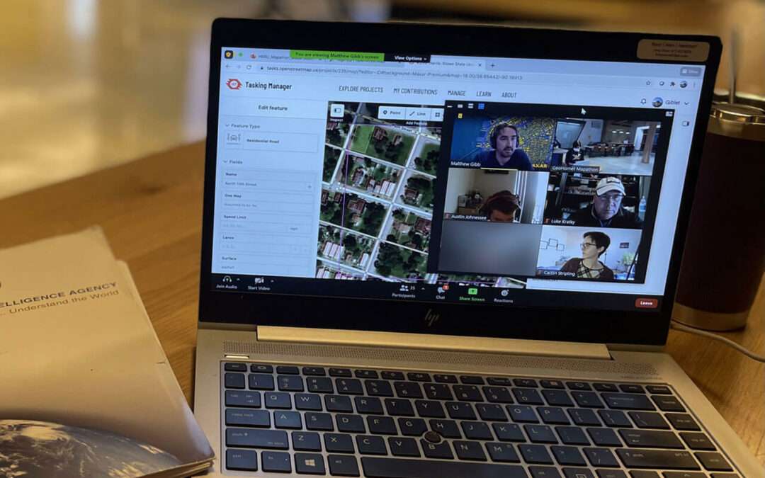
The OpenStreetMap program has a more detailed and accurate depiction of north St. Louis, thanks to 12 Harris-Stowe State University students who participated in the GeoHornet Mapathon March 19, hosted by Harris-Stowe State University with participation by Maxar...

by TaylorGeoAdmin | Jan 1, 2021 | Core Geospatial Science, News, Saint Louis University
As the COVID-19 pandemic spread across the world, researchers pondered the spread of the disease and what the risks of individual and community transmission rates were in various locations. To address this, SLU researchers Enbal Shacham, Ph.D., a professor...