Taylor Geospatial merges 2 nonprofits to speed geospatial AI tools from lab to market
St. Louis Business Journal; March 5, 2026
Related Posts
March 5, 2026
Taylor Geospatial Institute and Engine roll into a single nonprofit focused on GeoAI
St. Louis Magazine; March 5, 2026
June 23, 2026
AI project aims to help humanitarian organizations identify food security risks in conflict zones
A new initiative at Arizona State University seeks to provide earlier, more accessible insights into emerging food security risks by combining artificial intelligence, or AI, satellite observations and natural-language tools.
May 19, 2026
Fields of the World on Great Data Products
Jed Sundwall, executive director of Radiant Earth, creator of Source Cooperative, interviews Jen Marcus and Isaac Corley about Fields of The World.
March 16, 2026
Taylor Geospatial spins off from SLU to become independent, adds AI research to list
Total Information AM, KMOX
May 5, 2026
Boundaries of agricultural fields worldwide now publicly available
McKelvey School of Engineering at Washington University in St. Louis; May 5, 2026

May 27, 2026
Transforming Global Food Systems: New Geospatial Innovations Aim to Combat Hunger and Support Agricultural Stability
A new suite of geospatial innovations designed to turn data into actionable intelligence for global...
June 18, 2026
SatSummit Comes to St. Louis
Taylor Geospatial to co-host conference for leaders in the satellite industry and experts in global development November 18-19, 2026, at The Post Building.
June 25, 2026
Co-investment with AWS expands GIFS program
Geospatial Innovation for Food Security (GIFS) program adds 10 pilot projects
July 15, 2026
How geospatial AI is helping aid groups predict famine and deliver food
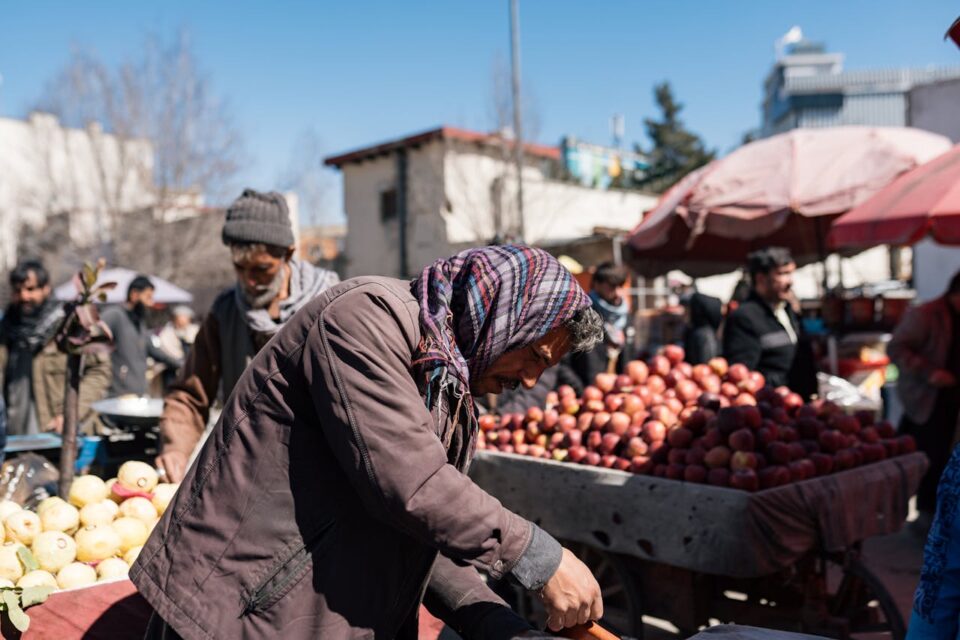
Devex — A St. Louis nonprofit is investing in AI to help WFP, FEWS NET, and other groups build and improve open-source tools for humanitarians to deliver food aid much more quickly and efficiently to people in need.
May 4, 2026
Taylor Geospatial unveils global field dataset
SpaceNews — Providing a template for applying AI to satellite imagery to create other global datasets
April 23, 2026
Agricultural Field Boundaries, Mapped Globally for the First Time
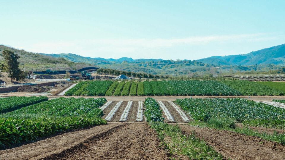
For the first time, every agricultural field on Earth has a boundary on the map. Taylor Geospatial funded and co-developed this work with Microsoft AI for Good Lab — one of the most ambitious GeoAI efforts we know of — because we believe GeoAI should work everywhere, not just in the data-rich regions where labeled training data is abundant. Today, it’s publicly available for everyone to benefit from.
March 5, 2026
Taylor Geospatial Launches as a New Hub for GeoAI Innovation
Taylor Geospatial today announced its launch as a new organization focused on unlocking AI-driven geospatial...