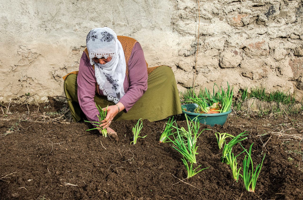
Armed conflict doesn’t just destroy lives and cities—it also quietly undermines food production, trade, and access in ways that are difficult to track in real time. To help humanitarian agencies respond more effectively, this project develops a new way to monitor how wars disrupt agriculture and critical infrastructure as those changes are happening.
Our approach uses advances in artificial intelligence and satellite imagery to turn frequent Earth‑observation data into clear, timely maps of crop conditions and transportation access. By “teaching” AI models to recognize seasonal changes in farming and infrastructure, and to respond to simple, language‑based questions, we can generate flexible maps that highlight where crops are being planted or abandoned, where harvests are delayed or accelerated, and where roads, ports, or airfields may no longer be usable. These maps can also reveal shifts in what farmers choose to grow—for example, moving from staple food crops to faster‑maturing or illicit alternatives under conflict pressure.
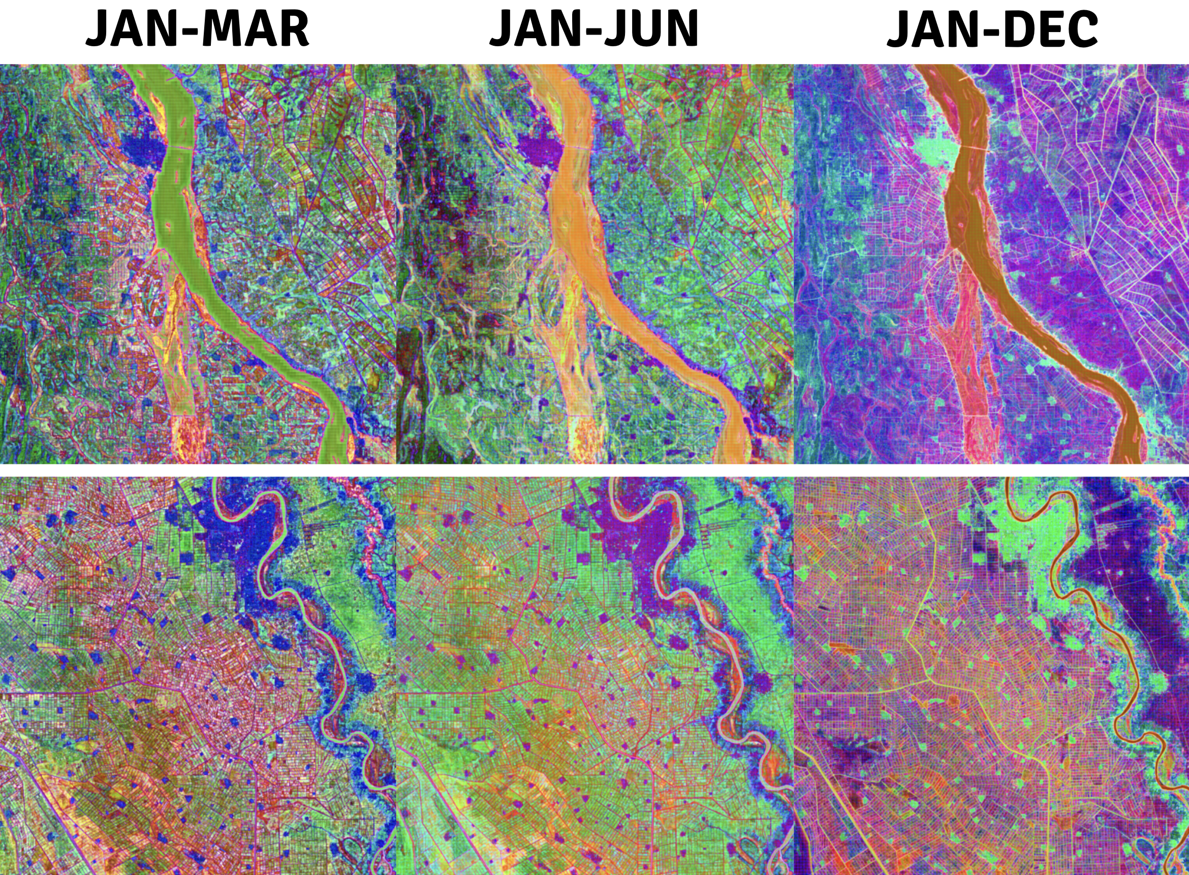
We combine these satellite‑based insights with openly available, regularly updated data on food prices, trade flows, population displacement, conflict events, and infrastructure networks. Together, these data streams produce practical indicators that can guide food‑assistance planning, supply‑chain routing, and early warning efforts.
We will test and refine this capability using real‑world conflict situations in places such as Sudan, Ukraine, Syria, and Haiti, working alongside established monitoring programs. After demonstrating its accuracy and usefulness, we aim to integrate this technology directly into operational systems used by agencies that track food security and humanitarian risk worldwide.
Outcomes
This project will produce open source sample data, code, models, and scientific publications documenting the methodology developed. Updates on these products will be added as the project progresses.
Team
- Dr. Ana M. Tárano (PI) — Arizona State University
- Dr. Hannah Kerner — Arizona State University
- Dr. Nathan Jacobs — Washington University in St. Louis
- Dr. Catherine Nakalembe — University of Maryland College Park
- Dr. Kiersten Johnson — FEWS NET (Famine Early Warning Systems Network), U.S. Department of State
- Dr. Karyn Tabor — NASA Goddard Space Flight Center
- Dr. Amy McNally — NASA Goddard Space Flight Center
- Dr. Inbal Becker-Reshef — NASA Harvest, University of Maryland College Park (also Managing Director, Microsoft AI for Good Lab)
- Dr. Yehuda Magid — Independent Consultant (former Conflict and Peacebuilding Advisor to USAID)