 Geospatial Innovation for Food Security
 Fields of The World
 Features of The World
 Benchmarks of The World
Taylor Geospatial launched the Geospatial Innovation for Food Security (GIFS) Challenge to promote advanced research in three critical food systems problem spaces: enabling agri-food supply chain resilience, informing crop shifting, and increasing nitrogen use efficiency.
We are proud to support a strong cohort of projects developing new methods and tools and sharing their outcomes and learnings with the community. Project pages will be updated regularly as research progresses. Check back for updates on new data, models, code, and research outcomes.
Flagship Projects
Fully funded by Taylor Geospatial for 18 months to progress research and translate it into practice, resulting in advanced prototypes or working tools.
Outputs will be shared openly, advancing our collective ability to address critical global challenges using AI-driven geospatial technology.
Early Warning Signs for Hunger & Malnutrition
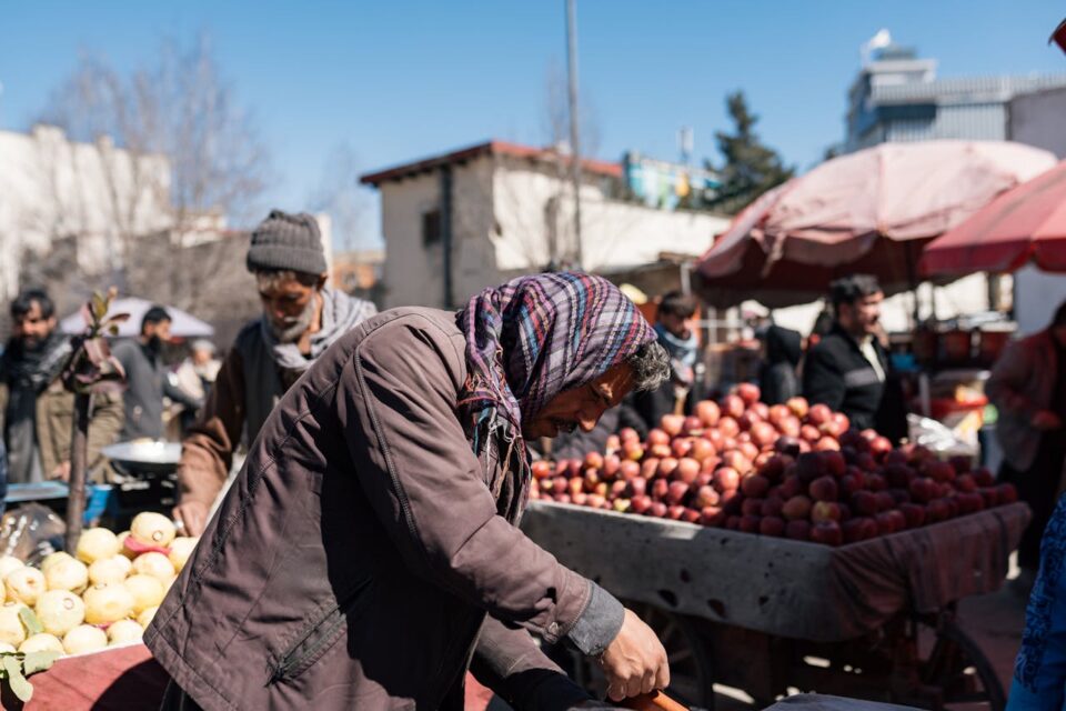
The World Food Programme, in partnership with the REACH Initiative, is enhancing Afghanistan’s PULSE platform (Platform for Understanding Local Shocks and Emergencies). The system tracks hazards affecting food access and supply routes, helping responders plan in environments where ground-level data is often incomplete.
Predicting Food System Instability
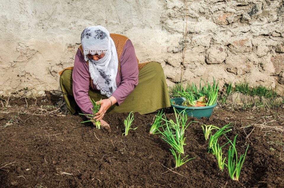
A collaboration between Arizona State University, the University of Maryland, and Washington University in St. Louis—alongside partners NASA Harvest, NASA Goddard, and FEWS NET—is developing a GeoAI capability to identify early signals of instability in food systems.
Water-First Nitrogen Management
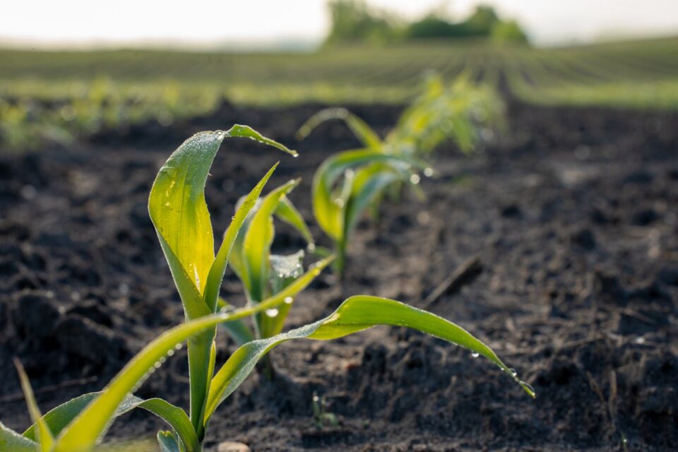
Led by researchers at the University of Missouri in partnership with the MU Extension, this project focuses on “water first” GeoAI model development to improve nitrogen application decisions. By combining satellite imagery and machine learning, the team maps plant-available soil water at sub-field scales.
Pilot Projects
Exploring new approaches and creating building blocks for research-to-practice translation over 12-to-18 months.
How geospatial AI is helping aid groups predict famine and deliver food