Geospatial Innovation for Food Security
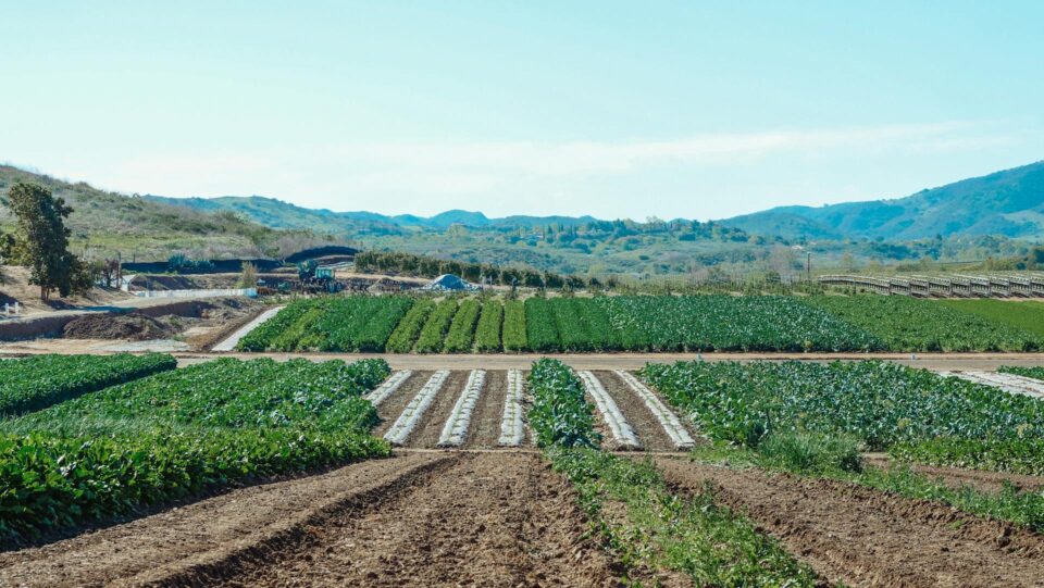
The Geospatial Innovation for Food Security (GIFS) Challenge promotes advanced research in three critical food systems problem spaces: enabling agri-food supply chain resilience, informing crop shifting, and increasing nitrogen use efficiency.
Fields of The World
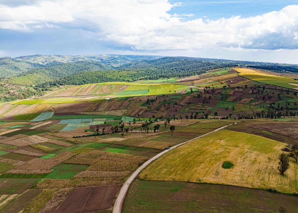
Fields of The World is an open ecosystem for agricultural field boundary detection — combining a global benchmark dataset, baseline ML models, inference tools, and web applications.
Coming Soon: Features of the World
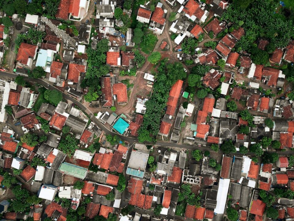
Through our Fields of The World effort, we proved that we can map agricultural field boundaries globally. Next we plan to explore how the FTW ecosystem can be adapted to map additional infrastructure at global scale.
Coming Soon: Benchmarking
Geospatial foundation models are proliferating faster than tools to evaluate their performance. We’re developing a coalition to establish a framework that will enable practitioners to choose the right model for their mission.