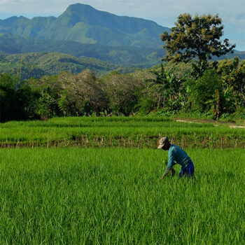
 Geospatial Innovation for Food Security
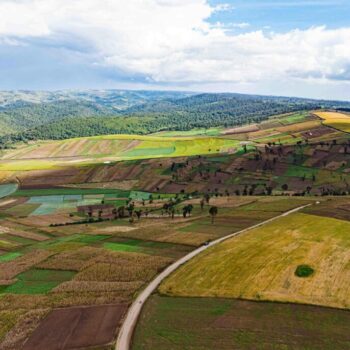 Fields of The World
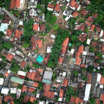 Features of The World
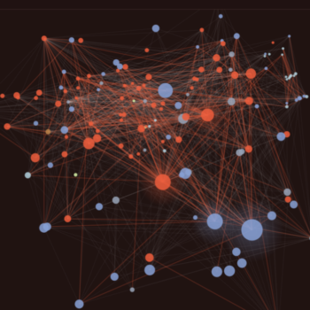 Benchmarks of The World
About Aviskar Giri
Aviskar Giri is a geospatial data scientist at Taylor Geospatial. He deploys sensors, integrates mobility datasets, and builds the cloud infrastructure behind the organization’s geospatial analysis work. He specializes in machine learning, satellite image analysis, remote sensing, and spatial statistics.
Aviskar is one of the developers behind Fields of The World (FTW), Taylor Geospatial’s open-source benchmark program for global agricultural field boundary mapping. He contributed to the backend for the FTW web app, which lets users generate field boundaries in their browser. He has published research on GeoAI for agriculture and contributed to Hyperfidelis, a no-code geospatial toolkit providing plant scientists and farmers with AI-driven crop monitoring capabilities.
He holds a Master’s in Geographic Information Science from Saint Louis University and is a doctoral student at SLU, where he uses machine learning and hyperspectral imaging to study permafrost in Alaska and how it responds to a warming Arctic.
If you work on open-source GeoAI tools or agricultural remote sensing, Aviskar wants to hear from you. Reach out and tell him what you’re building.