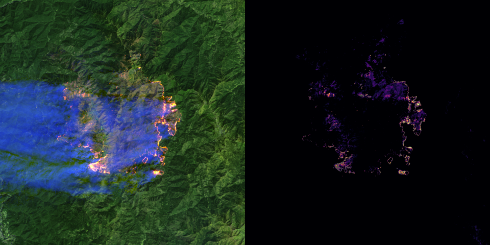
 Benchmarks of The World
 Features of The World
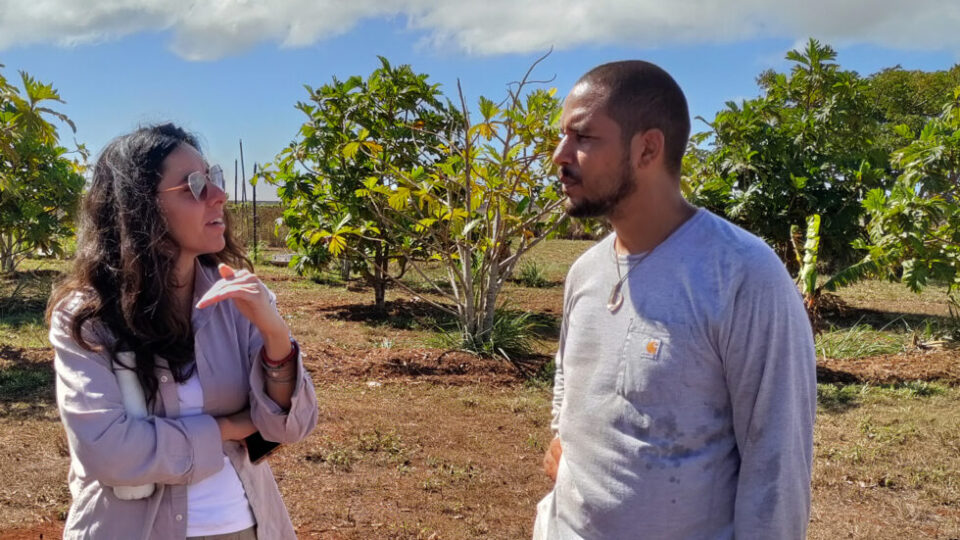
 Fields of The World
 Geospatial Innovation for Food Security
At SatSummit in St. Louis, Taylor Geospatial and Ai2 announced a partnership to help shape how geospatial AI is built, tested, and put to work for the digital public good.
Geospatial AI turns satellite and other Earth observation data into maps and insights, and it is moving fast. Yet the people working to protect our planet, from conservationists and farmers to humanitarian responders and the policymakers who support them, too often start from scratch. Together, we give them an openly accessible foundation to accelerate their geospatial AI efforts.
A Shared Vision: Open Geospatial AI
Taylor Geospatial and Ai2 share a vision to advance the state of geospatial AI and make it available as a digital public good. We fund and lead the research that moves the field forward at global scale, so others can build on it faster.
As nonprofits, we are committed to open models, data, code, and research, and we work to raise capabilities across domains. We measure success by how our resources help solve critical global challenges and how readily the broader geospatial community can put the latest advances in AI to work.
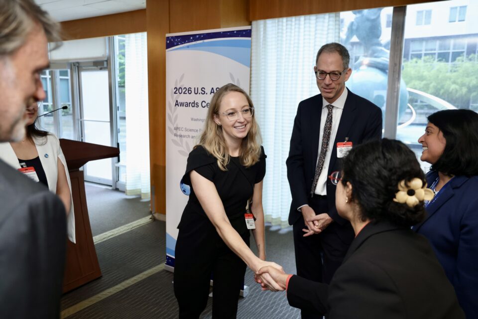
“Open resources change who gets to use geospatial AI,” said Jennifer Marcus, Vice President of Strategic Innovation Programs at Taylor Geospatial. “Taylor Geospatial exists to make planetary intelligence accessible by creating open, global, foundational elements anyone can use. With Ai2, we can build together and deliver open resources faster.”
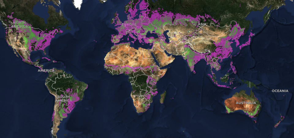
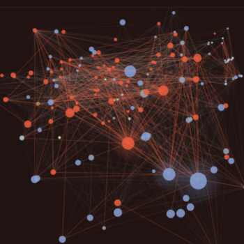
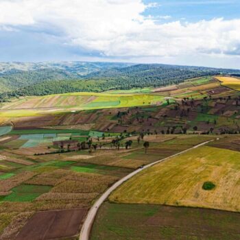
Led by Taylor Geospatial, Benchmarks of The World gives practitioners a shared, community-governed way to compare models. Created by Ai2, OlmoEarth is a fully open family of Earth observation foundation models, with a no-code platform to fine-tune and run them globally. Through Fields of The World, Taylor Geospatial pioneered an open ecosystem for producing a global dataset of farm field boundaries from satellite imagery. Building on this work, Ai2 will join Taylor Geospatial and our collaborators to enhance crop type and yield, and release an open framework for benchmarking geospatial foundation models.
“Geospatial AI has the power to influence decisions and policy on critical global issues. Taylor Geospatial and Ai2 share a mission to unlock the potential, democratize access, and empower innovation. Together, we are committed to co-investing in the technologies that will make an impact,” said Ted Schmitt, Senior Director of Conservation and OlmoEarth Program Lead at Ai2.
What’s Next: Validated by Practitioners
Taylor Geospatial and Ai2 aim to bring additional practitioners into our collaborative projects to reflect user needs for both Fields of The World and the shared benchmarks. This ensures we’re solving tasks that people in the field actually need.
If you build, evaluate, or depend on geospatial AI, we want your input. Get in touch.