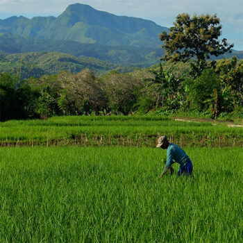
 Geospatial Innovation for Food Security
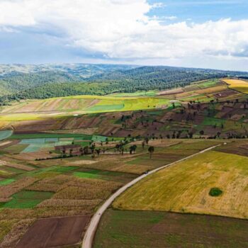 Fields of The World
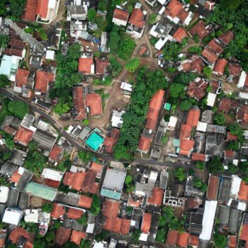 Features of The World
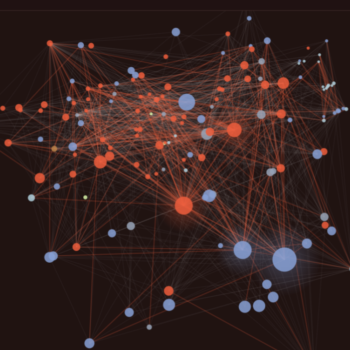 Benchmarks of The World
Improving Agricultural N Management with GeoAI-based Plant-Available Soil Water Capacity Mapping
Modern agriculture has access to sophisticated machinery, sensors, and decision‑support tools, yet farmers still struggle to apply nitrogen fertilizer efficiently and at the right time. A key reason is that most recommendation systems overlook a fundamental constraint on crop growth: how much water the soil can actually store and supply to plants. Without understanding soil water availability, even the best nitrogen advice can miss the mark.
This project starts from a simple but powerful idea: improving nitrogen management first requires understanding water. In rain‑fed farming systems, crop yields are determined by the balance between sunlight and plant‑available water. Periods of water stress—especially during critical growth stages—can sharply reduce yields and limit the crop’s ability to use applied nitrogen effectively.
To address this gap, this project is developing a new, widely applicable way to model how soil water‑holding capacity varies within individual farm fields. Using satellite data collected over many years, the model will identifies consistent patterns of crop water stress that reveal underlying differences in soil properties. Information from multispectral and thermal imagery, radar data, evapotranspiration estimates, topography, and existing soil surveys will be combined to create detailed maps that divide fields into management zones based on their ability to store and supply water.
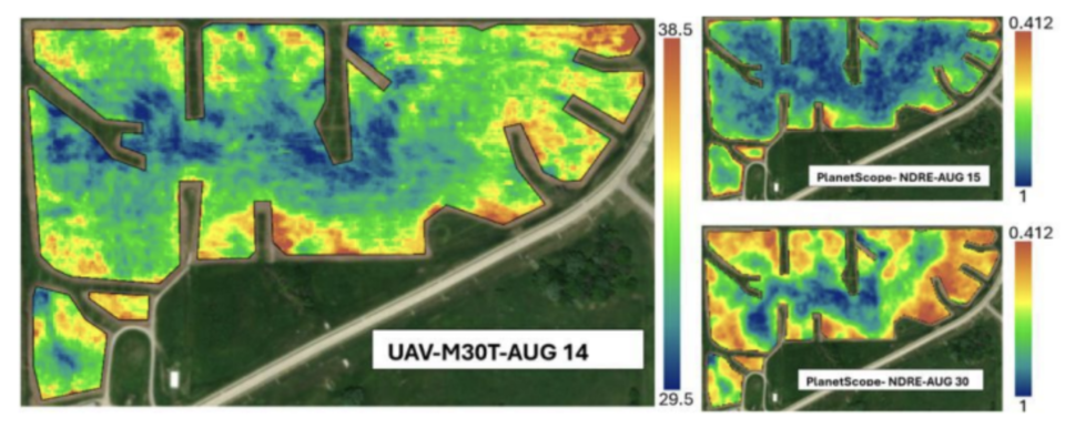
These zones can then be translated into quantitative estimates of soil water‑holding capacity using crop growth models that simulate how maize responds to weather, soil conditions, and management. By calibrating the models with real farm yield data and satellite observations, the system can estimate how much water is available to crops in each zone and predict realistic yield potential under water‑limited conditions. The calibrated models can then be used to test different nitrogen rates, producing recommendations that are better matched to each part of the field.
To make this work scalable and practical, the project is also building a modern data infrastructure that brings together weather records, satellite products, soil information, and yield histories into a unified, cloud‑based geospatial system. This platform is designed to work with existing agricultural tools and standards, allowing the results to be easily shared and reused.
The initial demonstration focuses on Missouri and Iowa’s claypan soils, using hundreds of on‑farm trials to validate the approach. While tested in this region, the method is designed to work anywhere rain‑fed crops are grown. By providing reliable, field‑scale estimates of plant‑available soil water, this project will help close a long‑standing gap between nitrogen science and on‑farm practice—supporting higher yields, better nitrogen efficiency, and reduced environmental losses.
Outcomes
This project will produce open source sample data for claypan regions in Missouri and Iowa, code supporting the modeling of plant-available soil water capacity, updated and optimized DSSAT software, and scientific publications detailing the methodology developed. Updates on these products will be added as the project progresses.
Team
- Dr. Timothy Haithcoat (PI) — University of Missouri
- Dr. John Lory — University of Missouri Agricultural Extension
- Dr. Michael Sunde — University of Missouri
- Dr. Andre Reis — University of Missouri Agricultural Extension
- Dr. Hatef Dastour — University of Missouri
- Dr. Zachary Leasor — University of Missouri Agricultural Extension
- Dr. Jasmine Neupane — University of Missouri