Taylor Geospatial Institute — What is the biggest piece of news/scientific discovery to share in line with the project goals?
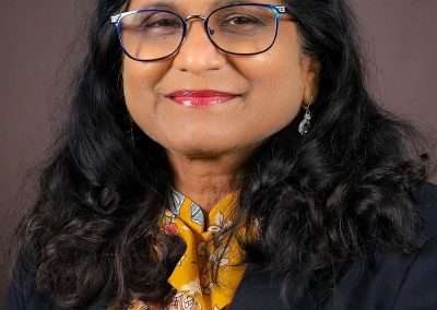
Rekha Meyer — “Whenever you want to build a system like this, you want to go for a very affordable thing that you can do in the backyard. But not a lot of these inexpensive, cheap sensors really work well. So we had to go in for a little bit of a higher end moisture sensor, which works really well now.”
“The moisture sensors were the biggest challenge we encountered. We wanted to keep the Raspberry Pi as the controller, because that’s something that’s easily available. Anybody can do it. We tried three different sensors, and they gave us real marginal results.”
“The other part of our project was the image analysis. The sunflowers were imaged every five minutes. And then we had to take that and look at actual wilting. The original hypothesis was, maybe the computer can sense wilting even before your eyes can see it. My plan is to put some plants in the greenhouse and go on vacation. I want to see if this system will hold because that’s the ultimate key.”
TGI — What has been the biggest surprise that has emerged from the science surrounding the project?
RM — “The surprise was how difficult it was to image the sunflowers in what I would call a real-life setting. Because a lot of times when people use plant phenotyping, it’s done in a closed environment. You’ve got these conveyor belts, there’s no changes, there’s nothing going on. The picture is perfect every single time. You can detect disease, you can detect wilting, you can detect a lot of things that way. But in the greenhouse, you’re going to be subjected to what’s happening outside.”
TGI — What forthcoming insight are you most eagerly anticipating?
RM – “We want to create a model, say in GIS, where, depending where you are, and your soil conditions, you can customize the system to suit that particular area.”
TGI — How has TGI-funding helped accelerate progress on the research question you’re asking?
RM – “It’s been invaluable. And I cannot thank TGI enough, because this really has totally started my program for geospatial work. Now I’m in two areas: I’m in the agtech field, and I’m in the GIS field as well. I really foresee getting grants based on our preliminary work, publishing this work for sure—we’re working on a paper right now. I want to showcase what an HBCU can do in this kind of a setting with support from an organization like TGI. I simply can’t find enough words to say how good it’s been.”
Information about Dr. Meyer’s research can be found at taylorgeospatial.org/associates, a database of all of TGI’s associates showing the unique work they are doing in geospatial.
To stay up to date with TGI activities, subscribe to our newsletter.


