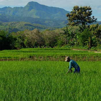
 Geospatial Innovation for Food Security
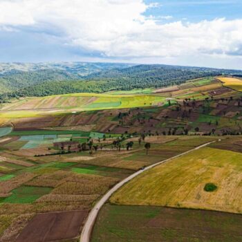 Fields of The World
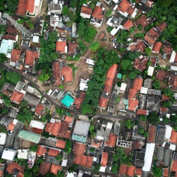 Features of The World
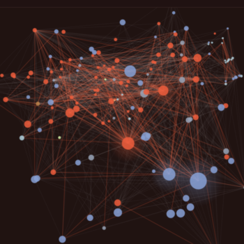 Benchmarks of The World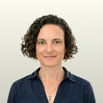
About Rachel Opitz
Rachel Opitz leads our Geospatial Innovation for Food Security (GIFS) program. This initiative works to improve global agri-food systems resilience and increase communities’ food security through the development and implementation of GeoAI and geospatial technologies.
Rachel takes a pragmatic, cross-disciplinary approach to understanding the needs of agri-food system actors and facilitating collaborations with researchers who can support them. She is passionate about translating innovative ideas into adoptable open source tools for the digital public good.
Prior to joining Taylor Geospatial, she led research projects and programs applying remote sensing and geospatial technologies to the study of past landscapes, cities, and the people who lived in them, holding posts in the U.S., Europe, and the U.K. She was a Senior Lecturer in Spatial Archaeometry at the University of Glasgow, where her research explored how geospatial technologies can be used to investigate long-term human-ecosystem interactions, and served as Senior Director of Collaborative Solutions and Innovation at the Open Geospatial Consortium, deepening her expertise in open science and data standards.
She holds a Ph.D. from the University of Cambridge and a B.A. from University of North Carolina at Chapel Hill.
If you’re working on GeoAI for food security, agricultural sustainability, bringing research teams together around shared challenges, or interested in supporting or implementing the research coming out of the GIFS program, Rachel wants to hear from you.