
As climate change, demographic shifts, and socio-economic instability increase pressure on our food systems, geospatial technologies continue to be critical tools for shaping the future of agriculture. The Taylor Geospatial Institute, through its Geospatial Innovation for Food Security (GIFS) Challenge, is bringing together experts from diverse disciplines to focus on developing the next generation of tools needed to tackle these pressing issues.
“I’m proud of the launch of the Geospatial Innovation for Food Security Challenge at TGI. To me, it exemplifies how we can bring together communities of experts across geographies, disciplines, and sectors to harness geospatial innovation and address global challenges like food security,” said Nadine Alameh, Executive Director, Taylor Geospatial Institute.
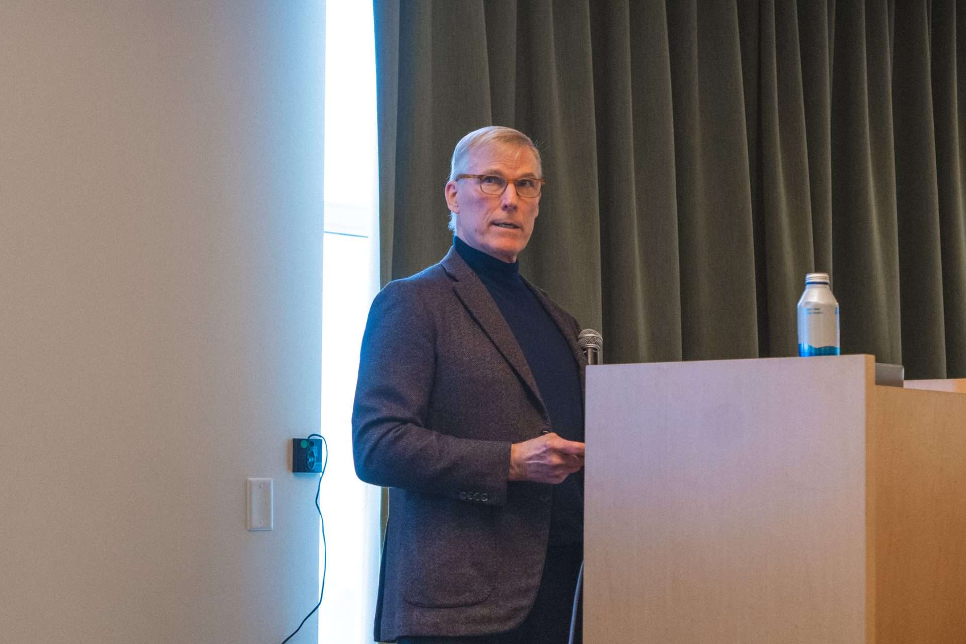
The Geospatial Innovation for Food Security Challenge Workshop, hosted by TGI on February 6, 2025 in St Louis, saw Joe Cornelius, CEO of Gates Agricultural Innovations, delivering a powerful keynote on the transformative potential of geospatial data and technologies in addressing food security challenges.
One of the central messages from his talk was clear: business as usual is no longer an option in the face of the immense challenges confronting global food systems.
“Business as usual just doesn’t work anymore. Climate change has already wiped out over a decade of progress in agricultural yields. We need to create new paradigms, accelerate new technologies, and work together to ensure a food-secure future for all,” he asserted.
An industry leader with extensive experience in agriculture, biotechnology, and food security, Cornelius began by reflecting on his own journey – from growing up on a small farm in Iowa to leading global agricultural innovation efforts. He emphasized how real-time geospatial data enables more effective agricultural planning, helps mitigate climate-related risks, and optimizes food production and distribution.
“Geospatial innovation allows us to precisely map agricultural systems, optimize resource use, and make data-driven decisions that can help feed millions,” Cornelius stated.
Geospatial Innovation: A Game-Changer for Global Agriculture
Cornelius highlighted that geospatial tools, when combined with biological and climate science, can revolutionize how we manage food production, optimize resources, and predict environmental risks.
“Technological advancements, particularly in geospatial and data-driven solutions, are reshaping agriculture in ways we could have never imagined even a decade ago,” he said.
Cornelius outlined several key benefits of geospatial technologies in agriculture:
- Precision agriculture: Farmers can use real-time satellite imagery and remote sensing data to optimize fertilizer use, monitor soil health, and manage water resources more efficiently.
- Predictive analytics: Climate models help anticipate droughts, floods, and extreme weather events, allowing for proactive planning and risk mitigation.
- Crop health monitoring: AI-driven tools detect pest infestations, fungal outbreaks, and plant diseases in their early stages, enabling faster and more effective interventions.
- Decision support for smallholders: GIS tools provide localized weather forecasts, soil health reports, and market data, empowering small-scale farmers to make informed decisions.
“When I think about the power of geospatial technology, I see it as a way to democratize access to information. We are giving smallholder farmers the same decision-making tools that were once only available to industrial-scale agribusinesses.” – Joe Cornelius, CEO of Gates Agricultural Innovations
Tackling Food Insecurity in Africa and South Asia
Cornelius highlighted that while geospatial technology is making strides globally, its impact is most urgently needed in Africa and South Asia – regions that possess 25% of the world’s arable land but produce only 10% of global food output.
“It’s an absolute certainty that we need additional investment, collaboration, and cutting-edge technology to unlock the potential of these regions,” he said.
To address these disparities, Gates Agricultural Innovations is focusing on improving photosynthesis efficiency to enhance plant productivity – a challenge that has long eluded scientists; advancing nitrogen fixation to reduce dependency on chemical fertilizers by engineering crops to fix nitrogen more efficiently; and enhancing crop resilience by developing climate-resilient crops like cowpea (black-eyed peas) and cassava, which are staple foods for over 300 million people.
Accurate geospatial information is crucial to these efforts – be it monitoring of crop performance, assessment of environmental conditions, or implementation of targeted interventions. It not only drives innovation at the research level but also plays a pivotal role in bringing these advancements to the fields where they are most needed.
However, while many groundbreaking agricultural technologies exist, the challenge lies in scaling these innovations to benefit the farmers who need them most. Cornelius emphasized the importance of turning research into actionable outcomes through:
- Localized geospatial insights: Providing smallholder farmers with real-time soil health data, localized weather forecasts, and pest monitoring to support informed decision-making.
- Democratizing access to data: Ensuring that even the smallest farms can leverage geospatial technologies and precision agriculture tools to boost productivity and resilience.
- Simplicity and Usability: Creating user-friendly tools and platforms that make advanced technologies more accessible, helping farmers easily predict droughts, extreme weather events, and adapt accordingly.
Geospatial innovation is not just about new technology, he said. “At the end of the day, innovation is only meaningful if it reaches the people who need it most. That’s why our focus is on scaling these innovations for the smallholder farmers who are the backbone of global food production.”
The Power of Cross-Sector Collaboration
A major theme in Cornelius’s keynote was the need for cross-sector collaboration. He emphasized that innovation in isolation is not enough. Governments, private companies, research institutions, and farmers must work together to ensure that technological advancements translate into real-world impact.
“Innovation happens at the intersection of different disciplines. By bringing together biologists, data scientists, engineers, and farmers, we can create breakthroughs that truly make a difference,” he said.
He also highlighted Saint Louis, Missouri, as a hub of agricultural and geospatial innovation, home to one of the world’s largest concentrations of plant science PhDs and a growing ecosystem of startups and research institutes.
Cornelius concluded his keynote with a strong call to action, urging attendees to think beyond traditional approaches and embrace innovation to create sustainable, equitable, and resilient food systems. “We are not just discussing ideas – we are here to find solutions that work. That’s why TGI’s focus on bridging research and real-world implementation is so critical,” he said.

“Joe’s call for cross-sector collaboration aligns closely with our mission at TGI, where we bring together the best teams of researchers, industry leaders, and policymakers to advance geospatial innovations that drive real-world impact. The GIFS Challenge isn’t just about developing technology – it’s about creating solutions that can transform lives. Our goal is to bridge the gap between groundbreaking research and the farmers on the ground, ensuring geospatial technologies contribute to a more sustainable and food-secure future.” – Nadine Alameh, Executive Director, Taylor Geospatial Institute.
Stay Connected with the GIFS Challenge
Want to know more? Our third GIFS Workshop is happening on April 17, which will also serve as the official Pitch Day. As we wrap up the first phase of the GIFS Challenge’s co-design process, teams will now pitch the problems they believe the community should focus on – they will present to a panel of reviewers and provide peer feedback on other proposals.
While opportunities to pitch at the April 17 workshop are now fully booked, you can still stay involved. Apply for a place in the audience and stay informed about upcoming events and opportunities to participate in the GIFS Challenge.
About Taylor Geospatial Institute
TGI is passionate about fueling geospatial science and technology to create the next generation of solutions and policies that the whole world will depend on for sustainability and growth.
The TGI consortium includes Saint Louis University, the Donald Danforth Plant Science Center, Harris-Stowe State University, University of Illinois Urbana-Champaign, Missouri University of Science & Technology, University of Missouri-Columbia, University of Missouri-St. Louis, and Washington University in St. Louis. Collectively, these institutions cover geospatial research from ocean depths to outer space.
For more information, visit taylorgeospatial.org.