
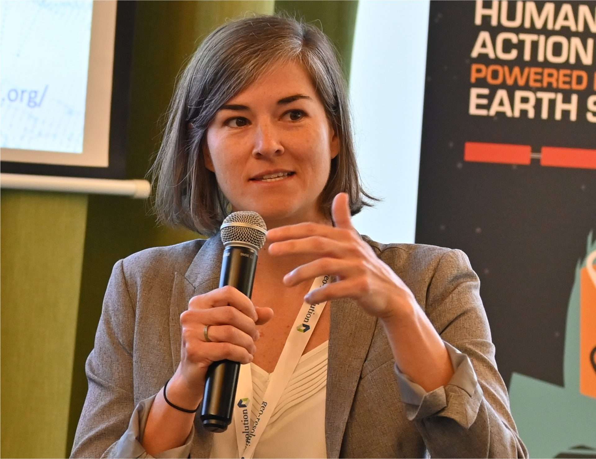
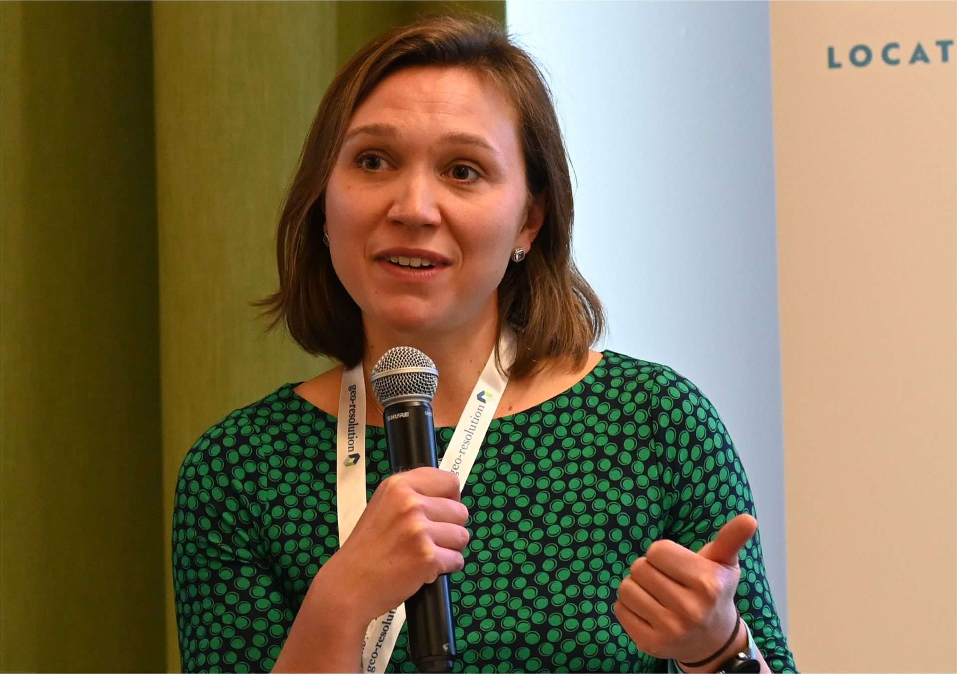
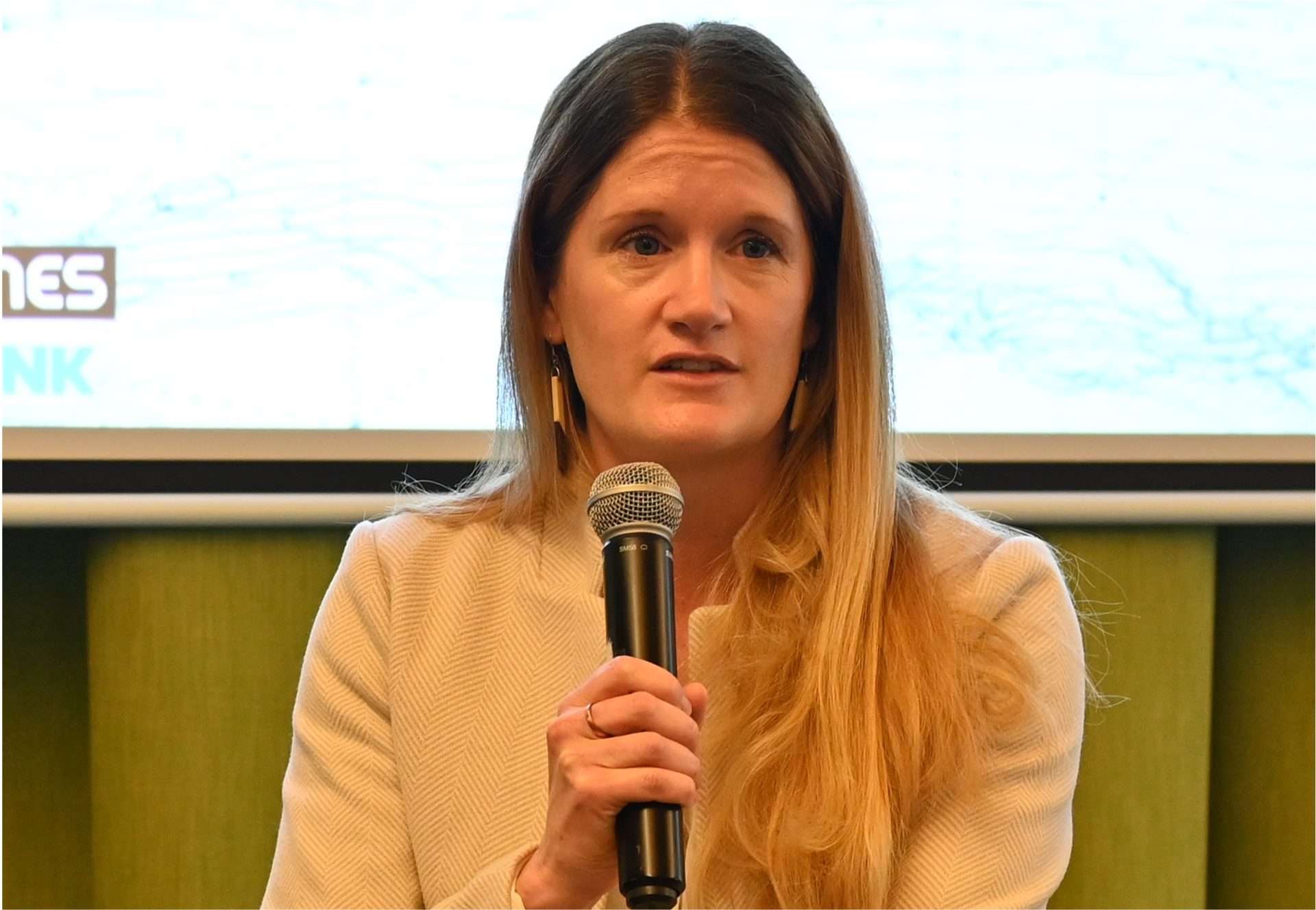
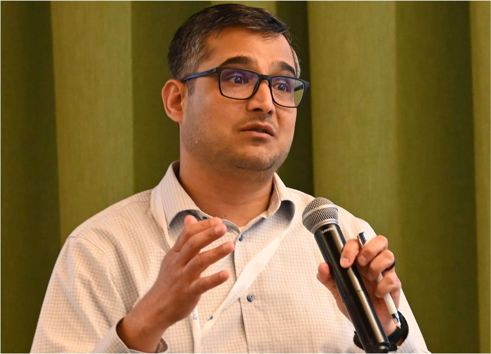
From left: Nishesh Chalise, Dr. Meghan O’Hearn, Dr. Rachel Opitz, Sara Burnett, and Rhiannan Price.
Every year, around 1.3 billion tons of food – nearly a third of total global food production – goes to waste (FAO). At the same time, 733 million people faced hunger in 2023, with one in five affected in Africa (WHO). It’s a painful paradox: tons of food are thrown away while millions go without. And it’s not just about empty stomachs. Wasted food also means wastage of water, energy, and labor that took to produce it, and contributes to around 10% of global emissions – five times more than the aviation industry. Despite this, 88% of countries at COP29 made no commitments to address food loss or waste in their Nationally Determined Contributions (NDC).
The problem isn’t just about growing more food, but about broken systems – where food gets lost on its journey from farm to fork. Fixing this means smarter supply chains, better distribution, and fewer inefficiencies that leave perfectly good food rotting in fields or landfills.
Geospatial innovations are emerging that can help address these systemic issues. With tools like spatially-enabled IoT, improved remote and proximal measurement to drive accountability, and advanced data analytics, experts can map food systems – spotting where food is lost, where it might benefit people in need, and how to bridge that gap.
These challenges – and the ways geospatial tools can help solve them – were front and center at the Taylor Geospatial Institute’s (TGI) second workshop on Geospatial Innovation for Food Security Challenge, held on February 6 in St. Louis. The event brought together voices from geospatial tech, agriculture, and food security to explore how technology is reshaping our food systems.
[The GIFS Challenge is moving into its next phase with the official Pitch Day on April 17. Register now to join the workshop audience.]
A key highlight of the workshop was a panel discussion titled Using Geospatial Innovation to Reduce Food Waste and Improve Access to Nutrition. Moderated by Dr. Rachel Opitz, Program Manager for Geospatial Innovation for Food Security at TGI, the conversation revolved around how data-driven approaches can address inefficiencies, reduce wastage of food, and improve access to nutritious foods, particularly in underserved communities.
The panel featured: Rhiannan Price, Program Lead at NASA Lifelines; Sara Burnett, Executive Director of ReFED; Dr. Meghan O’Hearn, Impact Director at Food Systems for the Future (now at Edacious); and Dr. Nishesh Chalise, Senior Manager of Community Development Research at the Federal Reserve Bank of St. Louis.
Reducing Food Waste
Opitz opened the conversation with a simple but powerful idea – geospatial data is not only about maps and modeling, but about linking food systems, supply chains, and the people who rely on them. “Our goal today is to explore how these tools can help reduce food waste and improve access to nutrition, ensuring that more food reaches those who need it most.”
From there, the panel dove into how geospatial data can help tackle one of the food system’s most glaring issues – waste.
Rhiannan Price explained how NASA Lifelines uses satellite imagery to map agricultural zones and spot risks like droughts and floods that disrupt food production. By blending that data with insights from the ground, NASA can uncover the weak points in supply chains where food gets lost. “When we can see where food is lost, we can start to fix it,” she said.
“By blending that data with insights from the ground, NASA can uncover the weak points in supply chains where food gets lost. When we can see where food is lost, we can start to fix it.” – Rhiannan Price, Program Lead at NASA Lifelines;
Sara Burnett from ReFED talked about the potential of using geospatial data to map food waste hotspots. National statistics on food waste are available, but the layering of multiple hyper-local datasets could reveal even more. By overlaying maps of farms, retailers, food banks, landfills, and transportation routes, organizations could identify where food is more likely to spoil before it even hits grocery shelves. This kind of data could help reroute surplus food to food banks or communities in need, especially in food deserts.
The panel agreed on one thing: you can’t fix what you can’t see. Geospatial tools make food waste visible, showing where and why it happens. That knowledge is the first step in fixing a system that lets so much good food go to waste.
Mapping Nutrition Gaps
Opitz then shifted the focus to another pressing issue – nutritional access – whether people can access healthy, nutritious options. This sparked a conversation about using geospatial tools to map nutrition deserts – areas where grocery stores may exist, but shelves are filled with processed, low-nutrient foods instead of fresh produce.
Meghan O’Hearn from Systems for the Future pointed out the importance of looking beyond food quantity. “A community might have grocery stores, but if they are mostly stocked with processed foods, there’s still a serious nutrition gap. Food security is not just about enough food, but also about having access to the right kinds of food,” she said.
“Food security is not just about enough food, but also about having access to the right kinds of food. A community might have grocery stores, but if they are mostly stocked with processed foods, there’s still a serious nutrition gap.” – Meghan O’Hearn, Impact Director at Food Systems for the Future
What makes geospatial tools so powerful here is their ability to layer data. Mapping where food is produced, where it’s wasted, and where nutrition deserts exist can help design strategies that redirect surplus fresh produce to places that need it most.
Nishesh Chalise brought another crucial perspective: community context. He emphasized just because a grocery store shows up on a map doesn’t mean it’s accessible. “Maybe the food is too expensive, maybe public transport doesn’t go there, or maybe the area feels unsafe,” he said. It’s a reminder that data needs to be paired with real, on-the-ground community insights.
Burnett raised the issue of data granularity – a lot of data is either too broad or not detailed enough. “We need data that’s local and real-time. If you are trying to save surplus food from being thrown out, you need to know what’s available and where,” she said.
The conversation also touched on the importance of human-centered design. O’Hearn and Chalise both stressed that it’s not about building the most sophisticated tools – it’s about making sure those tools are easy to use for farmers, food bank managers, and policymakers. “If the people on the ground can’t use it, it won’t make a difference,” they said.
“A lot of data is either too broad or not detailed enough. “We need data that’s local and real-time. If you are trying to save surplus food from being thrown out, you need to know what’s available and where.” – Sara Burnett, Executive Director of ReFED
From Insights to Action
The audience Q&A session brought real-world challenges and ideas into the mix. One participant asked about smallholder farms, especially in developing countries. How can these smaller farms be included in large-scale satellite analyses? Price acknowledged this challenge and shared that NASA Lifelines is working with higher-resolution satellites and AI models that can detect smaller plots of land. They also collaborate with local organizations to ensure the data they collect is accurate and reflects what’s really happening on the ground.
Another question focused on consumer food waste. It’s one thing to tackle waste at the farm or distribution level, but what about all the food that goes uneaten in people’s homes? Burnett noted that about 40% of food waste happens at the consumer level. She explained how ReFED is addressing this with educational campaigns, clearer food labeling, and behavioral nudges – small design changes that can make a big difference, like fridge-friendly storage guides.
There’s space for geospatial to contribute to those small design changes, Opitz said, reflecting after the event. The design of our cities, towns and transport networks all feed into buying patterns that can drive, or reduce, waste. How and where we travel to shop matters in subtle ways and we can use geospatial tools to understand them and make a small changes that make a difference.
O’Hearn fielded a question about balancing nutrition with sustainability. She explained that Food Systems for the Future uses multi-criteria models that weigh nutritional value, environmental impact, and affordability. “We are trying to find the sweet spot where foods are good for people, good for the planet, and don’t break the bank,” she said. Reflecting on this point, Opitz noted that being able to integrate spatial factors into these models is critical to their effectiveness, highlighting the need for collaboration in developing them.
Building a Better Food System – Together
As the panel wrapped up, Opitz asked each speaker what excites them most about the future of geospatial innovation in food systems. Price talked about the power of cross-sector partnerships – bringing together geospatial experts, policymakers, and food producers to solve problems collaboratively. “No one can fix this alone,” she said.
Burnett was excited about scaling up innovations that already work but haven’t been widely adopted yet. “The technology is there, we just need to get it into more hands.”
O’Hearn focused on the potential of geospatial data to make more complex, informed decisions about what food we grow, where we send it, and how we consume it. “We are getting closer to building systems that are efficient, equitable, and resilient,” she said.
Chalise wrapped up the reflections with a reminder of who benefits. “We have to make sure these tools benefit everyone, especially the communities that are most vulnerable to food insecurity,” he said.
“We have to make sure these tools benefit everyone, especially the communities that are most vulnerable to food insecurity.” – Nishesh Chalise, Senior Manager of Community Development Research at the Federal Reserve Bank of St. Louis.
How TGI Is Driving Real Change
If there was one recurring theme throughout, it was this – technology alone isn’t enough. It’s the partnerships – between technologists and farmers, policymakers, and communities – that turn data into real-world strategies.
This is the driving force behind TGI’s mission and its GIFS Challenge. GIFS is about co-creating strategies that are practical, scalable, and tailored to the challenges communities face on the ground. By connecting experts from agriculture, geospatial science, public policy, and grassroots organizations, TGI is helping spark ideas that can make a real difference – from reducing food waste to improving access to healthy, nutritious food.
As Opitz put it in her closing remarks, “The power of geospatial data lies not just in the technology itself, but in the connections it helps build – between people, places, and ideas. That’s what TGI is here to create and strengthen.”
What’s Next for the GIFS Challenge?
The GIFS Challenge is moving into its next big phase. On April 17, the third GIFS Workshop will serve as the official Pitch Day, where teams will present the food system challenges they believe need urgent attention. The teams would pitch their ideas to a panel of experts and get feedback – from the panel as well as their peers. Join the waitlist to be part of the audience and stay updated on future events, workshops, and opportunities to contribute to the GIFS Challenge.
About Taylor Geospatial Institute
TGI is passionate about fueling geospatial science and technology to create the next generation of solutions and policies that the whole world will depend on for sustainability and growth.
The TGI consortium includes Saint Louis University, the Donald Danforth Plant Science Center, Harris-Stowe State University, University of Illinois Urbana-Champaign, Missouri University of Science & Technology, University of Missouri-Columbia, University of Missouri-St. Louis, and Washington University in St. Louis. Collectively, these institutions cover geospatial research from ocean depths to outer space.
For more information, visit taylorgeospatial.org.