
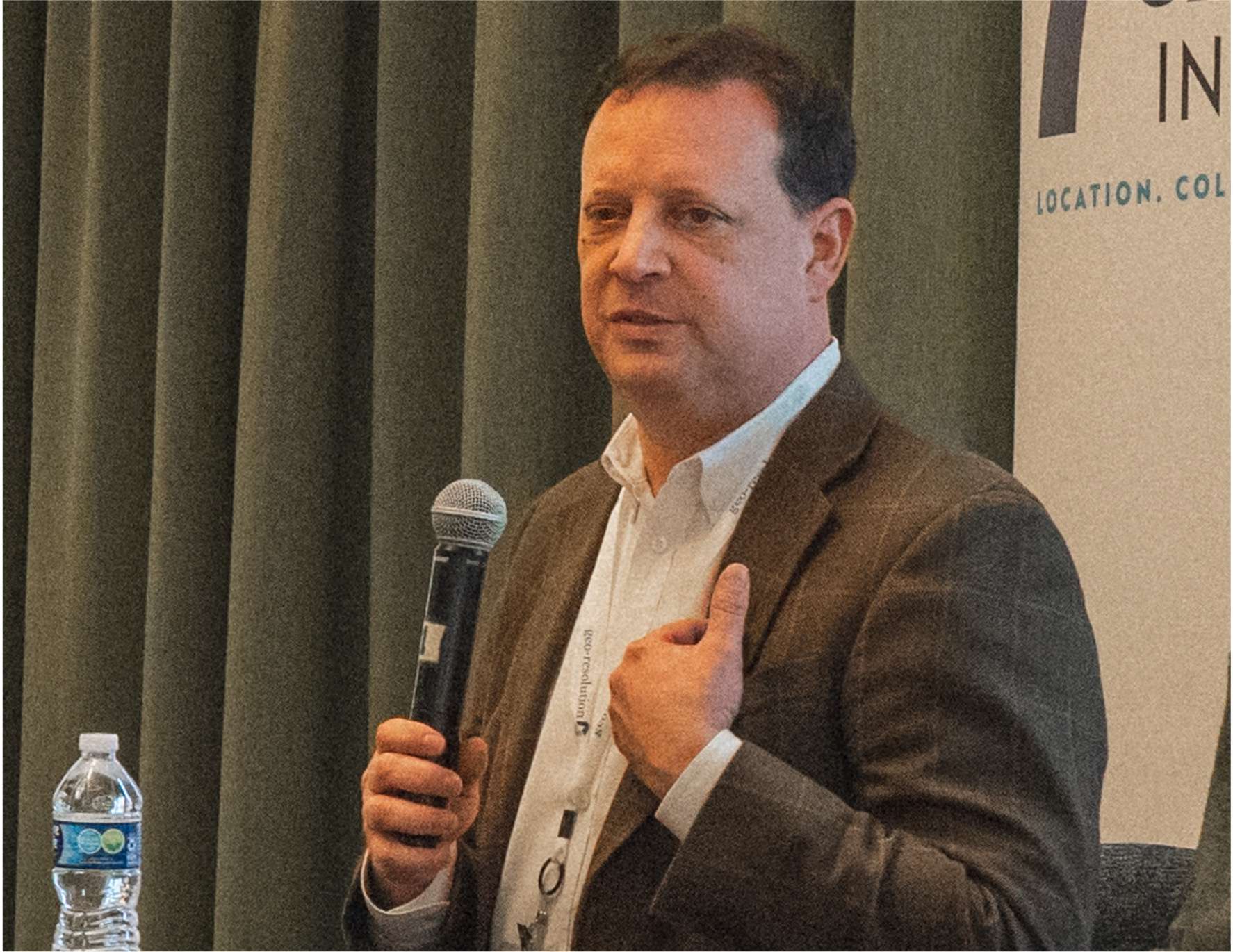
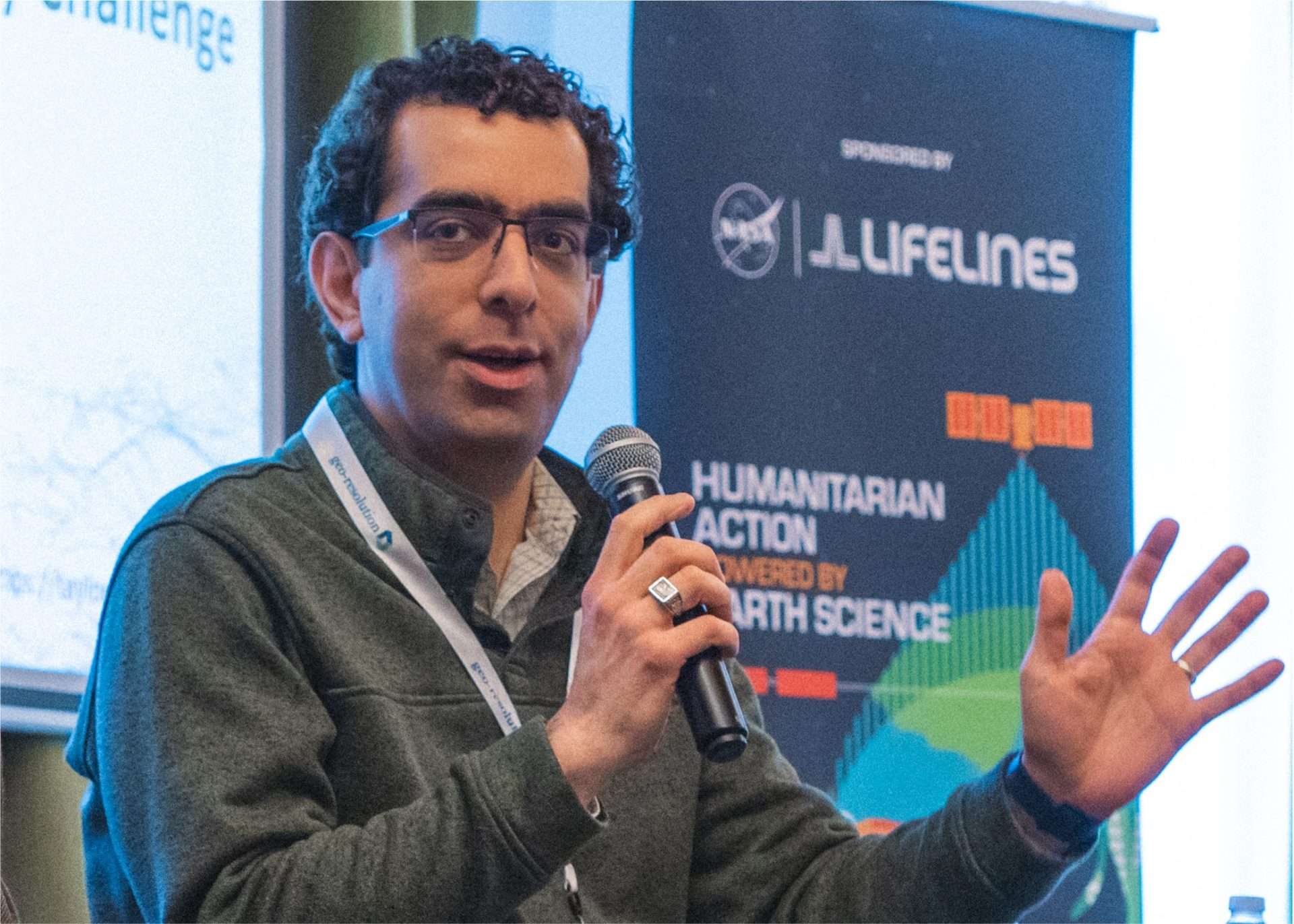
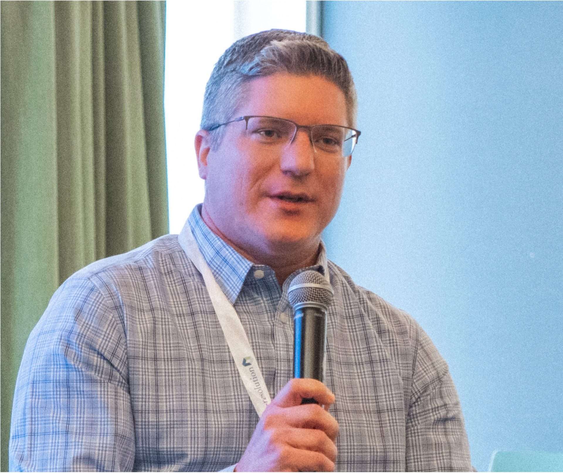
From left: Dr. Rachel Opitz, Dr. Steven Singer, Dr. Hamed Alemohammad, and Chad Zimmerman.
Despite the world’s agricultural systems producing enough food to feed the current population, global food insecurity remains a critical challenge. The scale of the gap remains significant, with approximately 733 million people worldwide experiencing hunger in 2023. That’s 1 in every 11 individuals globally and 1 in 5 in Africa. Further, according to WHO, an additional 2.33 billion people experienced moderate or severe food insecurity. In 2025, the pressure on agriculture to produce more with fewer resources, one piece in the world’s food puzzle, continues to grow. Addressing this crisis requires innovative and sustainable agricultural solutions. Geospatial technologies offer a powerful approach – enabling farmers to optimize resources, improve resilience to climate change, and address food security challenges more effectively.
This conversation is at the heart of the Geospatial Innovation for Food Security (GIFS) Challenge, led by the Taylor Geospatial Institute (TGI). On February 6, the second workshop on Geospatial Innovation for Food Security Challenge at T‑Rex in St. Louis brought together geospatial and agricultural experts to explore how technology can empower farmers to manage land more efficiently, make smarter decisions, and adopt sustainable practices.
The GIFS Challenge is now entering its exciting next phase with the official Pitch Day scheduled for April 17. Click here to register and join the workshop audience.
Geospatial Tools: From the Margins to the Mainstream
One of the highlights of the workshop was an engaging panel discussion on “How Geospatial Innovation Can Promote Sustainable Agricultural Land Management,” moderated by Dr. Rachel Opitz, Program Manager for Geospatial Innovation for Food Security at TGI. Panelists included:
- Dr. Steven Singer, Program Director at the Advanced Research Projects Agency-Energy (ARPA‑E)
- Chad Zimmerman, AgriFood Director at BioSTL
- Dr. Hamed Alemohammad, Associate Professor and Director at Center for Geospatial Analytics at Clark University.
Opitz kicked off the discussion with the question: “Geospatial technology has incredible potential to transform how we manage agricultural land, but how do we make sure these tools are accessible and impactful for farmers around the world?”
The conversation quickly turned to how in the past decade, geospatial technology has evolved from being a niche tool to a necessity in modern farming. The panelists reflected on this shift, highlighting how tools once expensive and rare are now staples on farms of all sizes.
Zimmerman shared his perspective from growing up on a family farm. “I remember when getting aerial images of our fields meant hiring a pilot and paying a lot. Now, farmers can launch a drone and, within minutes, get real-time data on crop health, soil moisture, or pest outbreaks,” he said.
This democratization of technology has put powerful data directly into the hands of farmers, enabling precision agriculture practices that optimize inputs like water and fertilizer while boosting yields.
Singer spoke about another area in which geospatial innovation plays a critical role – tracking greenhouse gas emissions to produce data needed by governments, corporations, and organizations working to identify mechanisms to reduce emissions. “What used to be a labor-intensive process is now streamlined. Real-time sensors and geospatial models let us monitor carbon dioxide, methane, and nitrous oxide emissions across entire landscapes,” he explained.
“What used to be a labor-intensive process is now streamlined.
Real-time sensors and geospatial models let us monitor carbon dioxide, methane, and nitrous oxide emissions across entire landscapes.” –
Dr. Steven Singer, Program Director at the Advanced Research Projects Agency-Energy (ARPA‑E)
AI and machine learning have accelerated these capabilities, enabling tools for integrating satellite imagery, soil sensor data, and weather patterns to predict crop yields, assess soil health, and map complex carbon and nitrogen cycles on an unprecedented scale.
Scaling Geospatial Innovation: Breaking Down Barriers
While geospatial technology holds immense promise, the panel agreed that scaling these tools globally remains a challenge – especially in under-resourced regions.
Singer pointed to data fragmentation as a major hurdle. “Satellites, drones, and IoT sensors all collect valuable data, but they don’t always communicate. Different formats and standards make it tough to piece everything together,” he said.
Alemohammad highlighted another challenge: limited ground-truth data in some regions, especially in the Global South. “Remote sensing offers great insights, but without accurate field data to calibrate the models, their reliability drops. In parts of Africa, for example, poorly documented field boundaries make it hard to apply precision agriculture effectively,” he noted.
Zimmerman emphasized the human factor. “No matter how advanced the tech is, if it’s too complex or doesn’t fit into a farmer’s workflow, it won’t be used,” he said.
Opitz echoed this sentiment, emphasizing that the most impactful strategies emerge from partnerships where technologists, farmers, and policymakers collaborate to co-create tools, focusing on the real needs and experiences of those working directly on the land.
The panel also emphasized the importance of affordability and seamless integration. Innovations, no matter how advanced, must be accessible and easy to incorporate into farmers’ daily routines.
“Innovation needs to fit into the system for the user to adopt it,” the panel agreed, highlighting the need for approaches that cater to a range of farmers – from smallholders in Africa to large-scale row crop farmers in the U.S. Without this alignment, even the most sophisticated tools risk going unused.
Localization emerged as another important factor as agricultural practices vary widely depending on the region. “A tool designed for corn farmers in Iowa won’t work for rice farmers in Southeast Asia,” Alemohammad said. He also highlighted the importance of cultural context. In some regions, farmers prefer audio messages in local dialects over written reports. Small adjustments like that can make a huge difference in adoption.
“A tool designed for corn farmers in Iowa won’t work for rice farmers in Southeast Asia. Then there is also cultural context – in some regions, farmers prefer audio messages in local dialects over written reports. Small adjustments like that can make a huge difference in adoption.” – Dr. Hamed Alemohammad, Associate Professor and Director at Center for Geospatial Analytics at Clark University.
Policy and infrastructure also play critical roles in scaling these technologies. For instance, how subsidies and incentives could encourage farmers to adopt sustainable practices, especially if geospatial tools are used to verify changed practices or outcomes. “We are seeing the rise of carbon markets where farmers can get paid for practices like cover cropping or reduced tillage. Geospatial data makes it possible to verify these practices, but we need standardized policies to scale this effectively,” Singer noted.
Not surprisingly, infrastructure gaps – particularly rural connectivity – remain a significant barrier. For instance, reliable internet is a barrier for many farms, especially in remote areas, which limits access to cloud-based geospatial tools. The panel emphasized the need for greater investment in rural connectivity to ensure these innovations are available to all. They also discussed the importance of designing tools that can function offline and sync data once an internet connection is available.
Panelists also underscored the critical role of local agricultural extension workers in bridging the technology gap, helping farmers adopt and effectively use these tools – even in the most remote areas.
A Collaborative Future for Geospatial and Agriculture
As the discussion drew to a close, Opitz asked the panelists what excited them most about the future of geospatial technology in agriculture.
Alemohammad pointed to the integration of climate models with geospatial data. “We are moving toward tools that can provide more detailed long-term climate forecasts and crop recommendations based on future climate scenarios,” he said. “That kind of foresight could be transformative.”
Singer focused on carbon tracking, an area he believes will become increasingly important as industries account for carbon in their supply chains. “Geospatial tools will be essential in tracking carbon cycling and greenhouse gas emissions at the field level,” he noted.
Zimmerman emphasized data integration as the next big leap. “Farmers today are drowning in data – from drones, satellites, and sensors. But it’s all fragmented. We need unified platforms that pull all this data together and deliver simple, actionable insights.”
The panel stressed the importance of equity in this process. Smallholder farmers, who grow a large share of the world’s food, often lack access to the latest technologies. Ensuring that these advanced tools are accessible and affordable for farmers is crucial for improving global food security. The panel repeatedly highlighted the need for education and training in the use of these technologies to realize their potential. While the group differed on the technologies that have, or will have, the greatest impact, they found agreement on that providing clear guidance and hands-on support helps bridge the gap between innovation and real-world impact.
“Farmers today are drowning in data – from drones, satellites, and sensors. But it’s all fragmented. We need unified platforms that pull all this data together and deliver simple, actionable insights.” – Chad Zimmerman, AgriFood Director at BioSTL
TGI Driving Collaboration and Innovation
Throughout the discussion, one message was clear: collaboration is key to unlocking the full potential of geospatial technologies in agriculture. True progress doesn’t happen in silos – technologists, researchers, and policymakers need to work together with farmers to develop strategies that are both scalable and impactful.
TGI plays a crucial role in fostering this kind of collaboration as it brings together people with different backgrounds and expertise to co-create geospatial innovations that tackle real-world challenges. The Geospatial Innovation for Food Security (GIFS) Challenge exemplifies this approach. The initiative strives to connect every stakeholder in the ecosystem to develop innovations that can help improve food security, especially for smallholder farmers in vulnerable regions.
Opitz wrapped up the session by underscoring TGI’s commitment: “At TGI, our mission is to bring together diverse voices – from academia, industry, and farming communities – to co-create geospatial innovations that drive real-world impact. Events like this workshop are a crucial part of that process.”
Initiatives like the GIFS Challenge aren’t just pushing the boundaries of geospatial innovation, they are ensuring that these advancements reach the people who need them most, helping to build more resilient and equitable agricultural systems.
What’s Next for the GIFS Challenge?
The GIFS Challenge is now entering the next phase. The third GIFS Workshop, happening on April 17, will serve as the official Pitch Day, where participating teams will present the problems they believe the community should focus on to a panel of reviewers and provide peer feedback on other proposals.
While opportunities to pitch at the April 17 workshop are now fully booked, there are still ways to get involved. Click here to register and join the workshop audience. Stay informed about upcoming events, workshops, and ways to engage with the GIFS Challenge.
About Taylor Geospatial Institute
TGI is passionate about fueling geospatial science and technology to create the next generation of solutions and policies that the whole world will depend on for sustainability and growth.
The TGI consortium includes Saint Louis University, the Donald Danforth Plant Science Center, Harris-Stowe State University, University of Illinois Urbana-Champaign, Missouri University of Science & Technology, University of Missouri-Columbia, University of Missouri-St. Louis, and Washington University in St. Louis. Collectively, these institutions cover geospatial research from ocean depths to outer space.
For more information, visit taylorgeospatial.org.