Contributed by Fabien Montcher, Saint Louis University
The TGI Spatial Humanities Working Group applied modern geospatial best practices and core GIS technologies to better conceptualize the underworld of 1930s and 1940s Beijing.
On January 19th, 2024, the TGI Spatial Humanities working group met and attempted to answer the following questions: How did China’s new war policies enacted in the runup to the Korean War affect the way Beijing residents experienced urban space? How did this lead to crime becoming legally and spatially defined in 1930s and 1940s Beijing? How can geospatial research shed new light on this complex history?
To answer these questions the TGI Spatial Humanities Working Group considered a project led by Washington University in St. Louis (WUSLT) researcher Zhao Ma, in collaboration with WUSTL’s Xinyue Gao, Bill Winston, and Sara Swantz. The project: “Mapping the Underworld” delved into Beijing’s intriguing past during the tumultuous years of 1937 to 1949 and illustrated the intersection of geospatial science and historic records. The research also demonstrated the power of analyzing criminal and municipal archival records to unravel the intricacies of city neighborhoods in pre-World War II and Cold War China.
During Ma’s presentation of “Mapping the Underworld,” several key themes involving geospatial data and technologies emerged and were discussed by the Working Group.
Reimagining Historical Urban Spaces:
At its core, “Mapping the Underworld” challenges the conventional categories, units, and geographical scales typically employed by historians and social scientists when studying historical urban spaces and tracing criminal activities within them. Members of the TGI Spatial Humanities Working Group posed thought-provoking questions, such as how China’s war policies related to the Korean War influenced the perception of urban space in Beijing, the legal and spatial definition of crimes there, and how this impacted communities within the Chinese capital city.
The Intersection of GIS Technologies and Archival Data:
The Working Group’s discussion also involved the innovative use of Geographic Information Systems (GIS) technologies to overlay archival data onto historical maps. Attendees shared their own experiences with similar projects [any examples of these we could mention?] and explored the potential of connecting historical information across various archival collections with contemporary geospatial [right?] datasets. Participants also deliberated on the need to critically evaluate the limitations of this approach, especially when projecting geospatial information onto historical maps perpetuates the biases of the institutions, authorities, and individuals charged with curating and preserving historical information.
As these themes were discussed, the Working Group identified key outcomes.
Key Outcomes:
“Mapping of the Underworld” yielded two outcomes, one at the research level and the other at the pedagogical level.
1) The importance of continuing advances in spatial humanities: On a research level, this project contributed significantly to ongoing discussions within the TGI Spatial Humanities Working Group and served as a catalyst for conversations about the role of spatial humanities in reshaping our understanding of ancient, medieval, and modern cities worldwide. The synergies highlighted among similar spatial humanities projects presented at previous Working Group meetings have paved the way for future collaborations. This helps position the TGI Spatial Humanities Working Group as a prominent research center in St. Louis dedicated to advancing new historical and sociological analyses of urban spatial studies.
2) The need for continued education and skill development: At the pedagogical level, the “Mapping of the Underworld” event demonstrated how mapping projects like these can introduce undergraduate and graduate students in the humanities to GIS technologies and other geospatial techniques that cast new light on historical sources. Such initiatives could play pivotal roles in designing compelling visualizations and empowering the next generation of scholars with valuable skills in blending historical research with geospatial analysis.
Ways to Collaborate with the TGI Spatial Humanities Work
The TGI Spatial Humanities Working Group event “Mapping the Underworld” was more than just an intellectual gathering; it was a testament to the power of interdisciplinary collaboration, of cutting-edge GIS technologies, and of reevaluating historical narratives through a geospatial lens. As the project continues to unfold, it promises to reveal new insights into the rich history of Beijing during wartime, while shaping the broader landscape of spatial humanities research and education.
To help continue this discussion and generate fresh ideas, the TGI Spatial Humanities Working Group plans to meet and discuss additional thought-provoking topics:
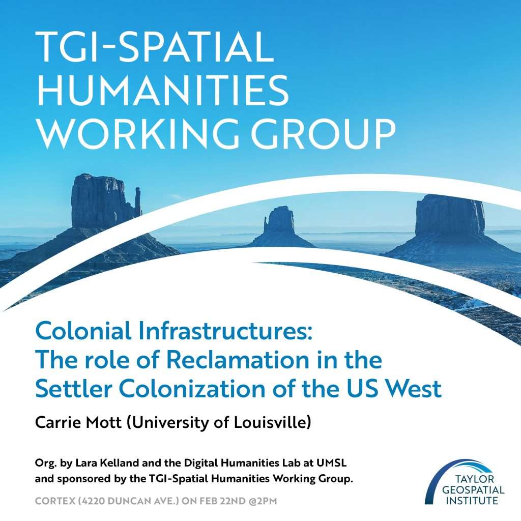
On Feb. 22nd, the TGI Spatial Humanities Working Group will be joining forces with Lara Kelland and the Digital Humanities Lab at UMSL by co-hosting a lecture by Louisville University feminist political geographer Carrie Mott. The lecture, “Colonial Infrastructures: The role of Reclamation in the Settler Colonization of the US West,” is open to the public and will be held at the Cortex Innovation Community’s COLLAB space at 4220 Duncan Avenue in St. Louis. Register for the event.