")
TGI’s Geospatial Innovation for Food Security Program is building a community to find out.
Read on to learn about TGI’s growing community focused on Food Security and the upcoming publication of the Call For Proposals — week of May 19, 2025.
Putting the right amount of fertilizer on a specific part of a field, maximizing profitability and minimizing waste. Planning effective mechanisms to supply nutritious food to rural communities with few nearby brick-and-mortar groceries. Informing decisions on which crop varietals should be prioritized for development by breeding programs. Geospatial technologies might not help with any of these. Or they might make a difference to all of them.
The teams of researchers and practitioners gathered in St Louis in April 2025 to pitch to TGI’s Geospatial Innovation for Food Security (GIFS) Program had spent 6 months debating which of the food systems many problems are most likely to benefit from a healthy dose of geospatial innovation. Their arguments and ideas carried weight. TGI is committed to including at least one problem identified by the group in the 2025 GIFS Challenge, which will invest over $2M in projects to leverage advances in geospatial technologies to promote sustainable agriculture and secure food systems.
Their task — finding the right problems — required not only creativity and collaboration, prerequisites for any ideation process, but deft navigation of the classic blunders. Technology proponents can risk getting carried away by excitement over potential applications of their chosen tools. Teams had to avoid the temptation to pursue a problem that is a natural fit for a tool, but not necessarily the problem that most needs a solution, or where a technology’s use doesn’t scale appropriately. Practitioners operating at the proverbial coal face can risk ‘how it’s always been done — ness’, shying away from technologies that require major changes in workflows or unfamiliar systems that are presented without strong proof of their workability.


Ideas On the Table
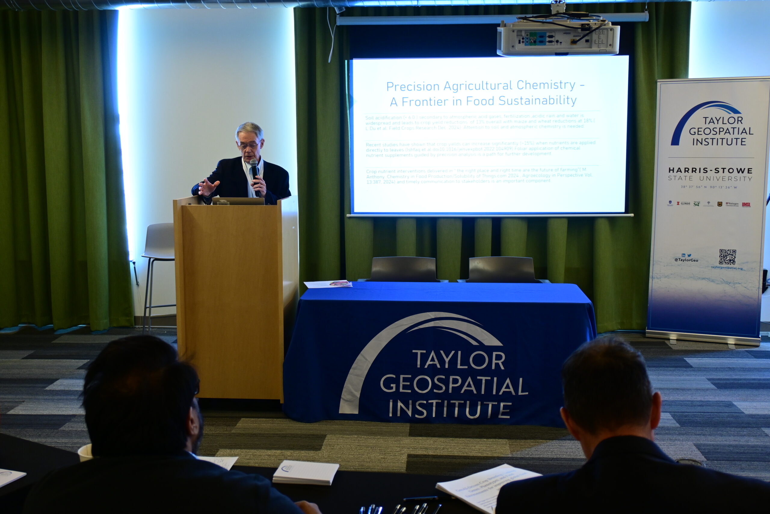
Eight teams with expertise from remote sensing and geoAI to agriculture, logistics, and public health made the case for investment in geospatial to tackle the problems they’d — after some internal wrangling — prioritized. Potential focus areasranged from improved sensor suites for monitoring atmospheric toxins that enter growing crops to a new generation of geospatial data-driven platforms for assessing risks to food supply chains. AI methods, training data quality, new data modalities, and simplicity of use made regular appearances, indicating some consensus around the relevant tech stack. But beyond this convergence around which of the emergent technologies and tooling might be useful, where and how to use them remains — based on the diversity of problems promoted at the Pitch Day — a more open question.
This scenario will feel familiar to anyone following the boom in AI. We continually see proposals for new applications of a rapidly advancing set of technologies, and some of them may even be useful. As research projects and companies spin up, scale up, and wind down, it’s not yet clear which ones will emerge as capable of delivering real value for people.
TGI’s Call for Proposals for projects designed to drive geospatial innovations forward applications in food systems — investing in attempts to address problems where the community believes we can have the most impact — will be released the week of 19 May 2025.


Want to Get Involved?
Join the mailing list to receive updates on the Call for Proposals and future TGI initiatives focused on sustainable agriculture and food security.
Read about past workshops and watch recordings on our website.
Check out the bios of the people who contributed. Thanks to everyone who joined us on the journey!
Pitch Review Committee
Kelsey Ryan (Nestle Purina), Rishi Masalia (39 North), Brian Roe (Ohio State University), Rhiannon Price (DevGlobal), Marge Cole (TGI), and Tom Schaeffer (BioGenerator Ventures), joined the group to help prioritize the problems set out by the Challenge’s teams.
Pitch Day Participants:
- Allison Miller, Principal Investigator, Donald Danforth Center
- Rekha Meyer, Assistant Professor — Harris-Stowe State University
- Vasit Sagan, Associate President for Geospatial Science, Saint Louis University —
- Dr. Darryl Murdock, Vice President, Federal Geospatial Services, Avineon
- Phil Alderson, Former Dean, Saint Louis University — School of Medicine
- John Metzger, Earth Monitoring Manager and Geomatics Counselor, AssetAssurance Monitoring
- Dr. Darryl Murdock, Vice President, Federal Geospatial Services, Avineon
- Praveen Pankajakshan, Advisory Committee Member, Harvard Data Science Initiative
- Dr. Carmen Blackwood, Founder and CEO, EarthRise LLC — Founder and CEO
- Ryan Hackney, Business Development Director, US Government, Hydrosat
- Dr. Kristie Wendelberger, Climate Smart Project Director, Rodale Institute
- Trey Hull, Director of Curriculum And Instruction, Gateway Global
- KC Kroll, Strategic Partnerships and Public Sector BD, DLG
- Kate Trout, Assistant Professor — Mizzou
- Jason Hawes, University of Wyoming
- Priya Sankalia, Sanborn
- Dr. Vijay Anand, Professor of Business, University of Missouri
- Carlton Adams, Chief Operating Officer, Operation Food Search
- Dr. Carissa van den Berk Clark, Saint Louis University — Professor of Family and Community Medicine
- Dr. Lauren Landfried, Saint Louis University — Professor of Family and Community Medicine
- Thomas Guilment, University of Louisiana at Lafayette — Post-doc Researcher
- Brad Stricherz, Independent Geospatial Software Consultant
- Xinyi Liu, Washington University — Professor of Archaeology & Associate Chair of Anthropology
- Dr. Hamed Alemohammad, Clark University — Associate Professor; Director of Geospatial Analytics
- Nazih Fino, Global Nomad GIS Services
- Nitin Magima, Columbia University — QMSS Innovation Lab Mentor
- Suzy Friedman, World Wildlife Fund — Senior Director, Food Policy
- Ross Estela Mendoza, Founder, Silver Passport; International Science Council Global Expert
- Dr. Montserrat Bonvehi Rosich, Washington University in St Louis
- Caitlin Flanagan, Editor in Chief, Tearline, NGA
- Sam Roy, Desert Research Institute / Spatial Bytes
- Ankur Shah, PlanetSapling — Executive Director; From Soil to Soul — Co-Founder
- Vijaya Joshi, University of Florida — Assistant Research Scientist
TGI is passionate about fueling geospatial science and technology to create the next generation of solutions and policies that the whole world will depend on for sustainability and growth.
The TGI consortium includes Saint Louis University, the Donald Danforth Plant Science Center, Harris-Stowe State University, University of Illinois Urbana-Champaign, Missouri University of Science & Technology, University of Missouri-Columbia, University of Missouri-St. Louis, and Washington University in St. Louis. Collectively, these institutions cover geospatial research from ocean depths to outer space.
For more information, visit taylorgeospatial.org.