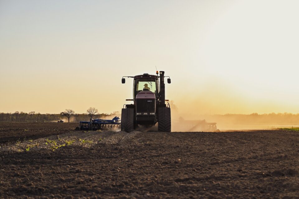
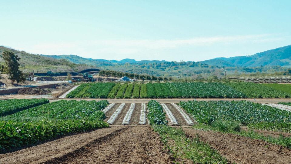
Why field boundaries matter
Knowing where individual agricultural fields are — their size, shape, and location — is foundational to a wide range of applications: food security monitoring, carbon accounting, precision agriculture, and climate adaptation planning. Until now, no one had mapped them globally. The data simply didn’t exist.
One audacious goal. The collaboration to make it real.
Taylor Geospatial assembled and led a collaboration of world-class researchers and industry technologists, keeping the team relentlessly focused on a goal that’s easy to lose sight of in academic research: producing outputs that are actually usable and accessible to a broad swath of industry, not just publishable.
One of the ways we did that was by building something we’re proud of in its own right: a cadre of Technical Fellows — some of the best geospatial industry technologists working today — embedded alongside the academic research teams. That pairing of scientific rigor with applied industry expertise is what turned a hard research problem into a deployable, global-scale result.
Microsoft AI for Good Lab was a co-investor in this vision, contributing both the deep technical expertise of researcher Caleb Robinson and significant cloud compute infrastructure to make global-scale inference possible.
What the team built
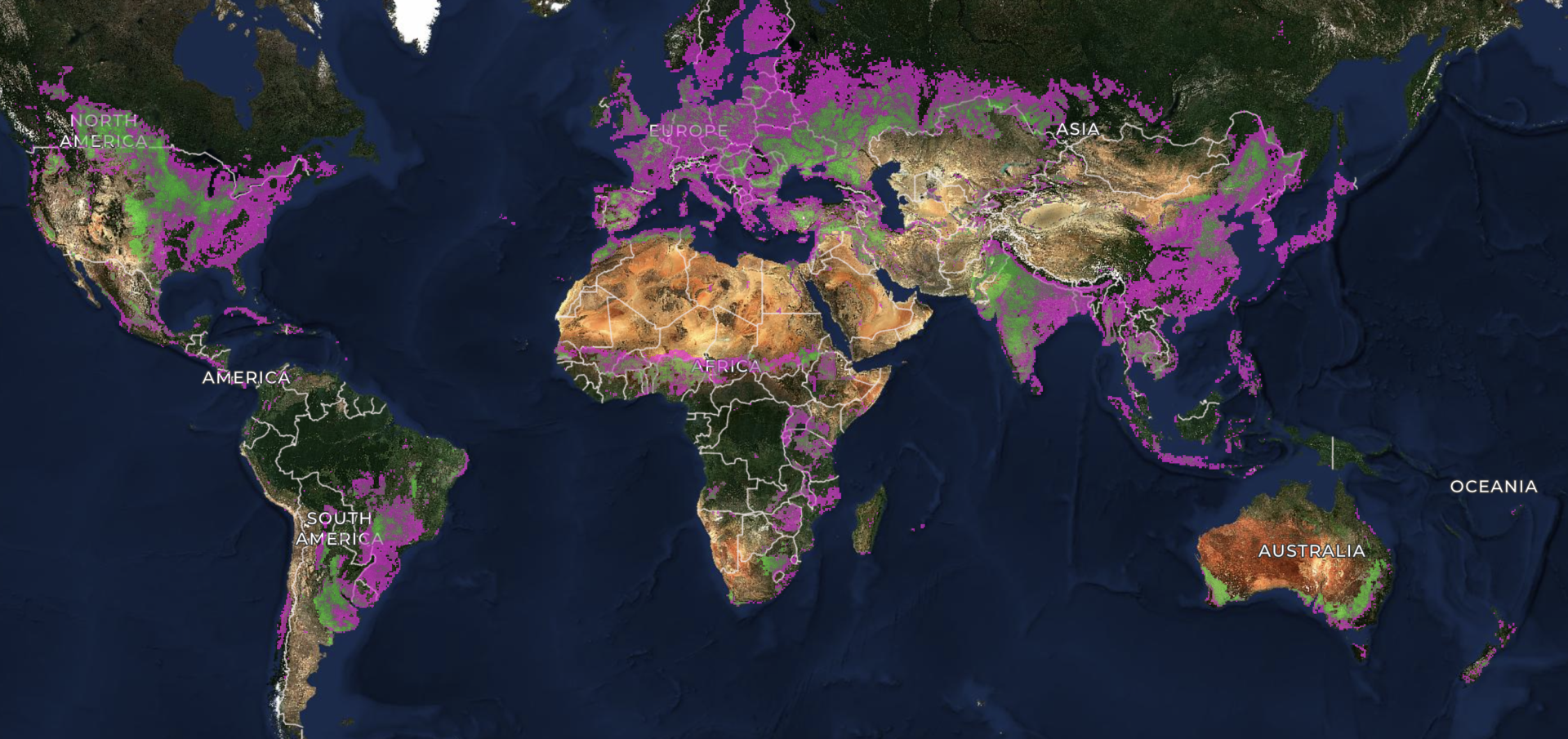
Together, the team developed a novel model and model architecture specifically designed to infer field boundaries at global scale. Critically, they also produced the training dataset needed to get there — itself a significant scientific contribution.
This was not a small lift. Global inference requires solving hard problems around data diversity, compute scale, and model generalization across vastly different agricultural landscapes worldwide. Smallholder plots in Ethiopia look nothing like Iowa corn fields or Brazilian soy. The model had to learn them all.
The collaboration that made it possible
We’re grateful to the exceptional partners who made this work real:
- Hannah Kerner’s lab at Arizona State University and Nathan Jacobs’ lab at Washington University in St. Louis, whose research teams contributed core scientific innovation to the model and architecture.
- Microsoft AI for Good Lab — co-investor in this effort — whose researcher Caleb Robinson contributed deep technical expertise alongside significant cloud compute support.
- Lyndon Estes at Clark University, who provided additional research contributions to the effort
- Source Cooperative, partner providing an open repository for hosting cloud-native geospatial datasets directly enables our mission to democratize access to GeoAI and deliver digital public goods at scale.
- Wherobots, who built the RasterFlow platform, generated the global mosaics, and ran the model efficiently at planetary scale to produce the final data products.
- Taylor Geospatial Technical Fellows, an elite group of geospatial industry technologists who worked shoulder-to-shoulder with the academic teams to ensure the science translated into something the industry can actually use
Bringing this work to users
Research only matters if it reaches the people who need it. That’s why we’re partnering with NASA Harvest, the Food and Agriculture Organization of the United Nations (FAO), and other global and regional partners to put this dataset directly into the hands of food security analysts, climate researchers, and agricultural development organizations worldwide.
The science behind it
Along with the global data release, the team authored a paper on global field boundaries at 10m resolution describing how confidence in the model was evaluated, along with confidence data layers. This work is grounded in peer-reviewed research. The PRUE dataset and methodology are described in a paper accepted by CVPR this year.
See it for yourself
We’ve built a visualization tool so you can explore the global field boundary dataset.
If you’re a researcher, practitioner, policymaker, or working in agriculture, food systems, or geospatial technology, we’d love your feedback.
This is just the beginning. Global field boundaries are a foundational layer for the next generation of GeoAI. We’re excited to build what comes next! If you want to know more about Fields of The World, visit fieldsofthe.world or email us at contact@taylorgeospatial.org.